


A slow-moving disturbance will send a couple of waves of showers and storms into Central Texas today, likely our wettest day of the week. The forecast calls for an overall 60% rain chance, with afternoon highs mostly in the low to mid 80s. Enjoy the "cool" weather while it lasts!
Current Conditions | Satellite & Radar | Travel Maps
7 Day Forecast | Allergy
The area of low pressure continues to hang out in deep South Texas, helping to draw in quite a bit of moisture from the Gulf of Mexico while it very slowly moves west. Some briefly heavy downpours are possible at times -- keep an eye on the radar today, especially if you plan to travel.
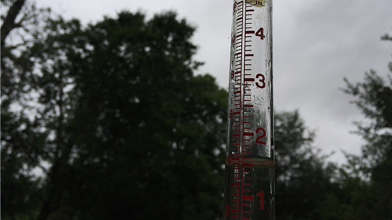
The threat for flooding has diminished in our area, leaving us with what we hope will be a good dose of watering for area lawns. Latest models show anywhere between 1/4" and 1" of rain potential here at home between today and tonight.
Forecast models suggest a large area of high pressure over California will help nudge this South Texas disturbance further south into Mexico by tomorrow, and that'll effectively cut off the rain chance. And, once the storm clouds leave, we're right back into the heat again.
Afternoon 90s return just in time for tomorrow's Summer Solstice, the longest day of the year and start of astronomical (or calendar) summer. And there's plenty more heat ahead, too, with what could be some near 100s as soon as Friday.
Be sure to join us for 'Weather on the 1s' today on tv or the live stream for more about the ongoing rain event.
WEATHER ON THE GO: Download the Spectrum News app and watch our live stream no matter where you are!
GET WEATHER ALERTS: Sign up to receive weather text alerts from the Spectrum News Weather Team
Enjoy the weather!
--Chief Meteorologist Burton Fitzsimmons (@Burton_Spectrum)