


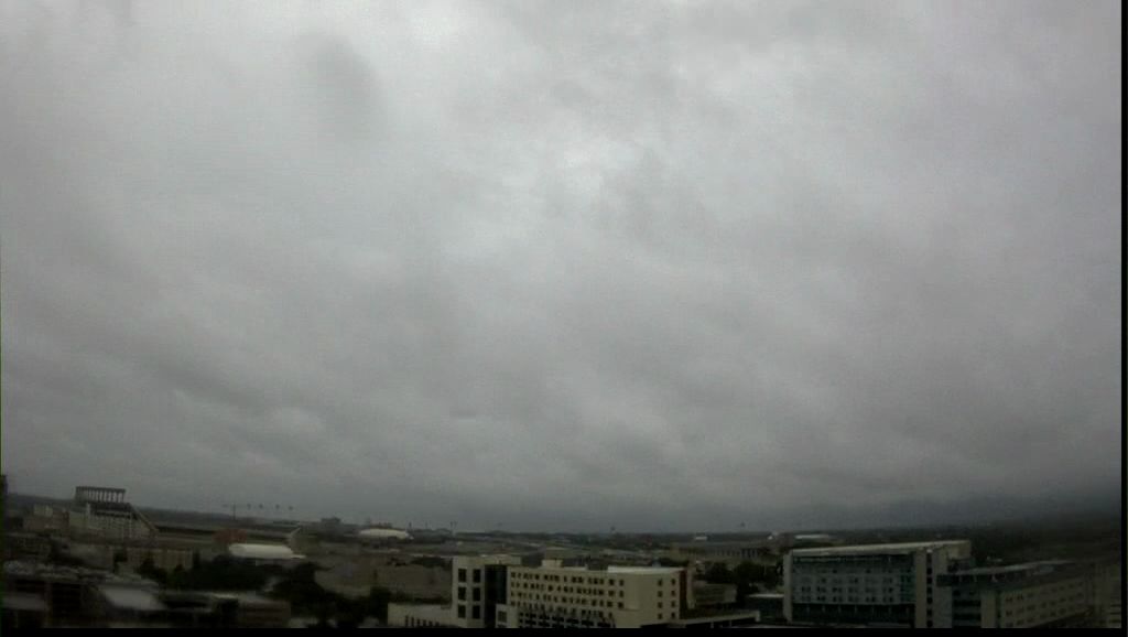
Parts of Bastrop and Hays Counties picked up more than one inch of rain Tuesday. Downpours were reported at Bastrop, Elgin, San Marcos and Smithville:
1.64" San Marcos
1.49" Elgin - Big Sandy Creek
1.19" Smithville
1.10" Lake Bastrop
1.07" Bastrop
0.98" Manchaca
0.66" Taylor
0.55" Lady Bird Lake at Longhorn Dam
0.38" Austin-Mabry
0.22" Austin-Bergstrom International Airport
Find more rain totals here.
The center of the the tropical disturbance responsible for this rain ... and Wednesday's rain ... is over south Texas. It is slowly moving to the northwest but away from Central Texas. Still, moisture will continue to move up from the coast resulting in a few more light to moderate areas of rain with a few isolated downpours from time to time. Between now and Wednesday afternoon there should be another .10" to .33" measured in the area.
Unfortunately, there was very little of this rain in the Hill Country so our area lakes won't get any help. In fact, there was another drop in the elevation at Lake Travis, down another .10+" during the last 24 hours.
The clouds and the rain kept Tuesday's highs well below normal. The high at Austin-Mabry was 80 degrees, 13 degrees below normal. That high occurred at 11:33 Tuesday morning.
There is one more day of spring with a forecast of a 50% chance of mostly rain with a few thunderstorms. Some late-afternoon clearing is likely sending most highs to the mid 80s. The first day of summer finds some highs returning to the low 90s. Then, it's back to flirting with 100-degree highs Friday and Saturday.
The rest of the short-term forecast is hot as noted on your 7 Day Forecast.
One last item ... molds are back in high numbers and should stay high Wednesday and Thursday.
Have a good Wednesday.