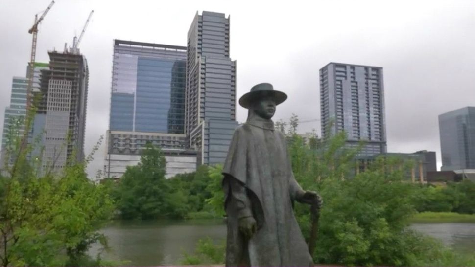
Welcome rains on Sunday left Central Texas moist with most areas seeing at least a quarter inch and many areas totaling much more. Wet ground and cloud cover will help keep temperatures Monday in the upper 80s. Remaining instability means a few more thundershowers are possible through Monday afternoon, but the chance is only at 30% for the Austin area.
Current Conditions | Radar | Travel Maps | 7 Day Forecast | Allergy
Rains end with nightfall and we’ll see partly cloudy skies through early Tuesday. Some fog might also form across the area by daybreak. Morning lows will fall to near 70.
Tuesday and beyond will see high pressure aloft get stronger over Texas. This will limit rain chances to the Coastal Plains and bring the pattern of late night clouds and afternoon sunshine to the rest of South Central Texas. Morning lows will be near 70 each day and afternoon highs will tick upward each afternoon. Look for low 90s for highs Tuesday rising to the upper 90s by Friday.
Memorial Day weekend promises hot temperatures and only a few afternoon showers. We’re also watching potential tropical development in the Gulf of Mexico next week. We’ll have a better picture of that possible event by the weekend.
See the details in the Seven Day Forecast.
Twitter: @TexasThunderman
WEATHER ON THE GO: Download the Spectrum News app and watch our live stream no matter where you are!
GET WEATHER ALERTS: Sign up to receive weather text alerts from the Spectrum News Weather Team


