


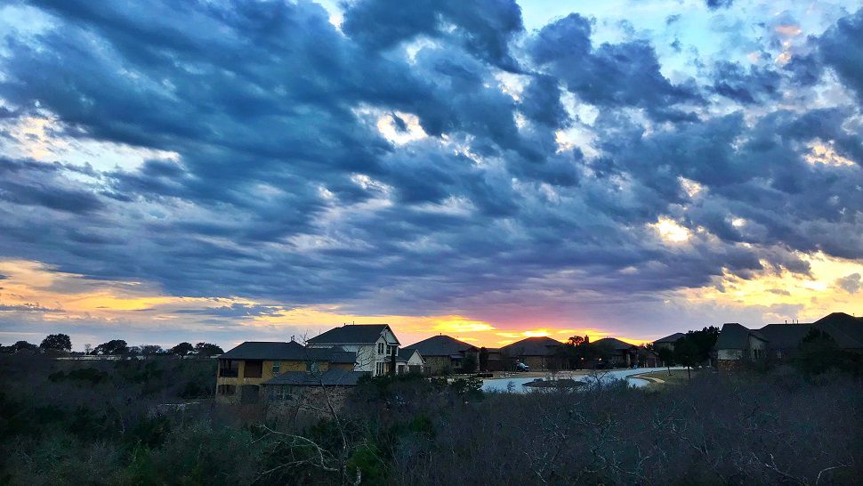
Isolated thunderstorms fired across South Central Texas Saturday evening. Several produced some small hail, but one storm in northern Burnet and Williamson counties produced quarter-sized hail with an unconfirmed report of baseball sized hail near the town of Watson. Some brief heavy rain and gusty winds accompanied the storms before they dissipated after sunset.
Cloudy skies will prevail through Sunday morning with lows in the middle 60s mostly. Sunday will have clouds persisting through midday and then clearing in the afternoon with a dry line pushing eastward through the I-35 corridor. This will also be the best chance of thunderstorms but the probability remains low at about 30%.
Current Conditions | Radar | Travel Maps | 7 Day Forecast | Allergy
West and then northwest winds will sweep low-level moisture away, ending any chance of rain by Sunday evening. Sunday night through Monday, we’ll see mostly clear skies and some cooler temperatures as dry Pacific air moves in. Monday morning lows will be in the middle 50s and highs in the afternoon near 80. By Tuesday morning a chill returns will low falling to the upper 40s.
See the details in the Seven Day Forecast.
Dan Robertson
Twitter: @TexasThunderman
WEATHER ON THE GO: Download the Spectrum News app and watch our live stream no matter where you are!
GET WEATHER ALERTS: Sign up to receive weather text alerts from the Spectrum News Weather Team