


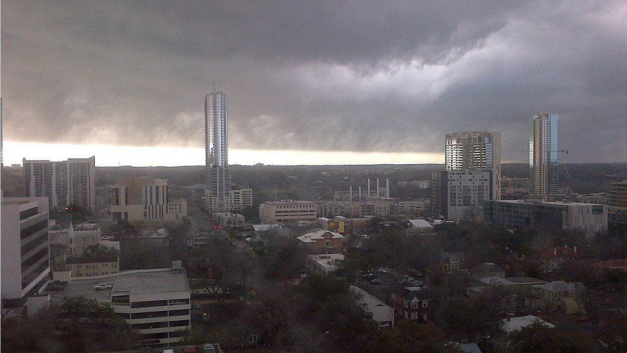
While most were sleeping, a cluster of strong storms swept through the western Hill Country and ended up impacting I-35 to the north of Waco, so we dodged the first bullet, so to speak. Even so, it's going to be a slick morning commute thanks to developing streamer showers, and the thunder threat is long from gone. Overall, it's a 70% chance for showers & storms today with warmer-than-normal highs in the low to mid 70s.
Current Conditions | Satellite & Radar | Travel Maps
7 Day Forecast | Allergy
Southeast winds continue to pump in more humidity from the Gulf, all while a Pacific conveyor belt of moisture moves diagonally over Texas. Embedded in that flow, another "ripple" of energy is helping a new batch of storms try to develop. We're planning on some isolated thunder throughout the day, possibly with some small hail and strong storm winds. Please be careful out there on the roads and, if you hear thunder roar, head indoors.
Futurecast shows another, stronger wave of storms trying to develop overnight tonight (80% chance), and it could blossom directly over Central Texas at the same time a polar cold front is entering the region. Storm cells could train (or move over the same areas time and again), which could quickly cause ponding of water on roadways. No doubt, very heavy downpours could be blinding for travelers.
As of now, it looks like a morning rain event tomorrow with northerly winds taking hold around or shortly after sunrise. That'll make our warmest part of the day come very early, likely around daybreak, with temperatures falling to and holding close to 50 during the afternoon.
As a result of strong northerly winds, you'll definitely want your jacket tomorrow! We're forecasting a wind chill factor in the 30s and 40s, with actual temps dipping to low 40s and a few upper 30s to start Thursday morning. The chill will only be temporary, however, as the cold front stalls south of I-10 then lifts back to the north as a warm front Thursday night. We're right back up to 70s on Friday with minimal rain impact to close out the week.
Another, much weaker front will try to push across the area on Saturday with a 40% rain/storm chance, followed by a drop in daytime temps by a few degrees for Sunday.
For the latest, be sure to tune in to 'Weather on the 1s' often for updates on TV or the live stream.
WEATHER ON THE GO: Download the Spectrum News app and watch our live stream no matter where you are!
GET WEATHER ALERTS: Sign up to receive weather text alerts from the Spectrum News Weather Team
How much rain will we get? In general, our in-house model says around 1/4" possible for much of our metro area today then maybe an additional 1/2" in the next 36 hours. Between now and Saturda night, NOAA's latest outlook shows potential 2" to 4" accumulations.
Stay ahead of the storms & be safe!
--Chief Meteorologist Burton Fitzsimmons (@Burton_Spectrum)