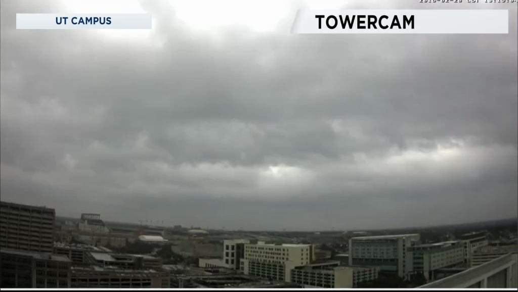
The base of an upper-level trough is found near San Diego, CA. The wind flow in the middle and upper atmosphere remains consistent out of the southwest. A strong thunderstorm with moderate to heavy rain this morning moved from Fredericksburg to the Marble Falls, then weakened in Williamson and Bell Counties. The afternoon's weather featured mostly light to occasionally rain.
Specific rain totals can be found here.
There will be no change in the mid- and upper-level wind pattern. Thus, your forecast will continue the chance for showers and thunderstorms through Saturday. A brief break from the rain comes Sunday afternoon and Monday. One computer model projects rain through Saturday afternoon running anywhere from 1.32" to 2.98" with the higher totals along and east of I-35.
Afternoon highs reached the low 70s Tuesday, including 73 at both Austin-Bergstrom and Austin-Mabry. Those 70s leave us for a few days due to another cold front that arrives Wednesday morning.
At this time the front looks to be south of Austin by 6 a.m., clearing out of San Marcos by 7 to 8 a.m. Temperatures will be in the 40s north of Austin to 50s along and south of Austin at daybreak. Most of the area will have temperatures in the mid to upper 40s by late Wednesday afternoon but feeling colder due to a north wind 10 to 20 mph and gusty.
Thursday morning will be cold as lows fall to the upper 30s to low 40s.
The final weekend of this month should be a little wet Saturday but dry Sunday.
Tree pollens are becoming numerous in Central Texas. The Austin count Tuesday showed a trace of oak. However, while tree pollens remain low to occasionally moderate it's the mold that should stay moderate to high through the weekend.
There is more on your 7 Day Forecast.
WEATHER ON THE GO: Download the Spectrum News app and watch our live stream no matter where you are! GET WEATHER ALERTS: Sign up to receive weather text alerts from the Spectrum News Weather Team.


