


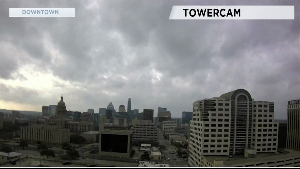
There is no change in the weather pattern from what has been seen for the last week or two. The flow in the middle and upper atmosphere continues to bring moisture from the Pacific. The Jet Stream shows one trough poised to move out of the western U.S. into the middle of the country between now and Wednesday ... then another trough settles in the west with even more rain for the end of the week and possibly the weekend.
Moisture from the Gulf is also flowing in off of a strong south wind this afternoon.
There will be a 30% chance of rain this afternoon and this evening. Overnight showers and thunderstorms are shown to move into the Hill Country extending up to Bell County. Moderate to heavy rainfall is being predicted in the Hill Country between 12 and 7 a.m.
The forecast of showers and thunderstorms continues Tuesday and Wednesday. A risk of some heavy downpours is also possible with the arrival of a cold front Wednesday morning. At this time, the Storm Prediction Center is not forecasting any risk of severe storms Tuesday and Wednesday but that is subject to change. You will know about it both here and during Weather on the 1s.
Cold air will settle in for Thursday morning when lows fall to the low 40s. The forecast for the rest of the week into the weekend is for this rain period to continue Thursday to Saturday ... and possibly Sunday.
For more you should check out the 7 Day Forecast.
WEATHER ON THE GO: Download the Spectrum News app and watch our live stream no matter where you are! GET WEATHER ALERTS: Sign up to receive weather text alerts from the Spectrum News Weather Team.
Have a good day.