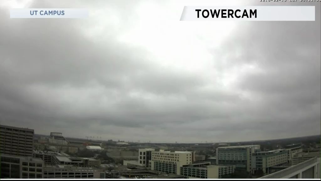
This afternoon will be the warmest day of the week with a strong southerly flow. Temperatures reached the lower 70 by noon on the way to high temperatures in the middle to upper 70s. There may be some breaks in the clouds but not as many as the area saw Wednesday when a mostly sunny sky was observed for about three hours before sunset.
The next cold front arrives tomorrow morning. Highs Friday will be recorded late in the morning to early in the afternoon. Lows for February 16 will happen just before midnight Friday into Saturday.
The upper flow will continue out of the southwest with the moisture flow from the Pacific. Saturday and Sunday will have rain. Next week, thunderstorms become part of the forecast with the better chances Tuesday and Wednesday. It looks like another trough digs into the southern California by the 24th which may keep rain and thunderstorms going the last weekend of February.
The roller coaster of temperatures continues as you will see in your 7 Day Forecast.
Mountain cedar counts today were very low. They should remain low tomorrow. If anything, mold may become the bigger issue given all the moisture in the area.
WEATHER ON THE GO: Download the Spectrum News app and watch our live stream no matter where you are! GET WEATHER ALERTS: Sign up to receive weather text alerts from the Spectrum News Weather Team.
Have a good day.


