Happy Valentine's Day.
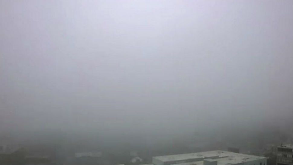
Visibility will be improving during the afternoon following a morning that had some poor visibility. The noon hour still had visibility below 2.00 miles. The overcast sky will remain for much of the afternoon. Futurecast shows some clearing for the Hill Country extending to the east. The question ... as always ... is how much of that clearing will extend towards I-35.
Gone is the chill that has bothered many since Saturday. Much warmer air is settling over Central Texas today. Early afternoon temperatures climbed into the 50s with some 60s in the Hill Country. Most of our highs this afternoon are expected in the upper half of the 60s. Warmer air with a stronger south wind tomorrow will send afternoon maximums to the 70s.
The next cold front arrives Friday morning. Forecast models show the front's arrival after sunrise with a north wind by noon and increasing wind speeds for the afternoon. Most highs will be in the 60s.
A consistent upper/mid flow from the Pacific will keep the sky overcast to mostly cloudy heading to the weekend. One disturbance coming out of the southwest keeps rain in the weekend outlook. Even after it leaves Sunday another one moving out of the southwest will trigger rain AND thunderstorms Monday to Wednesday. And, another front will arrive Tuesday night/Wednesday morning.
There was some good news from the allergist this morning. Just a TRACE of cedar showed up under the microscope. It's the first time that has happened since December 19th. Low cedar amounts are forecast tomorrow. Higher counts are possible Friday and Saturday.
For more check out your 7 Day Forecast.
WEATHER ON THE GO: Download the Spectrum News app and watch our live stream no matter where you are! GET WEATHER ALERTS: Sign up to receive weather text alerts from the Spectrum News Weather Team.
Have a good day.


