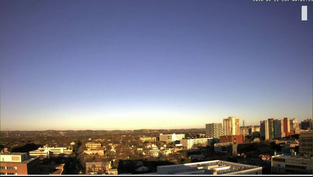
The latest cold front was slow in arriving here but it did push through late last night to very early this morning. The front did not generate much rain locally.
High pressure aloft and at the surface will be the area's main weather features the next few days. Afternoons will be bright. Nights will be starry. Temperatures will be at or slightly above normal during the afternoons. Morning lows between now and Thursday mornings will be cold.
A strong northwest wind is blowing across some of the area this afternoon. Speeds will gradually lower during the evening leaving much lower wind speeds for tomorrow.
The next rain arrives Friday and Saturday with (a) an upper-level trough of low pressure gliding across the state and (b) a cold front arriving on Saturday afternoon. So, part of the weekend will be gray and potentially wet ... the second half of the weekend will be bright, cool, and dry.
Mountain cedar counts are high again today thus there will be no change in your allergy forecast.
More details on the week's weather are found on your 7 Day Forecast.
Have a good day.


