


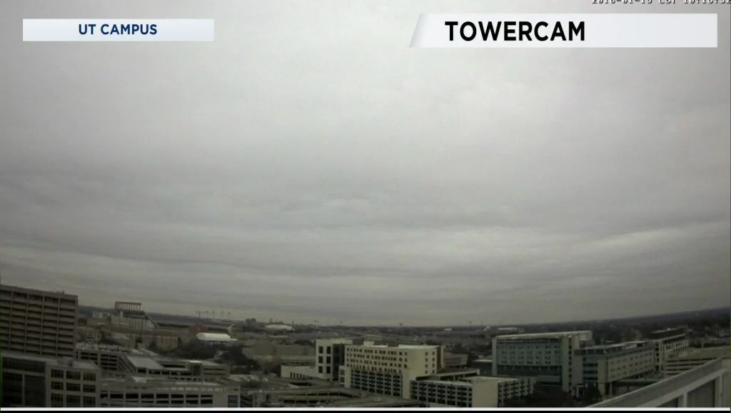
An upper-level trough is moving across the state today. It is the reason for both the overcast sky and the light rain. The rain will be dissipate during the overnight hours.
Southerly winds will help "warm" the temperatures to near 50 this afternoon. Lows tomorrow morning under an overcast sky will fall to mostly the mid 40s.
This has been one of the coldest weeks in awhile so we are due some warmer air for the weekend ... and that's what we have as highs reach the low 70s tomorrow. What's more is that the clouds will be gone by the afternoon. The area will be a bit breezy tomorrow with southerly winds as high as 10 to 20 mph.
The next upper-level trough will get here Sunday, combining with a Pacific cold front to fuel a few showers and thunderstorms during the afternoon and evening. Highs will peak in the lower half of the 70s with a south breeze 10 to 20 mph.
The front will be out of the area after midnight Sunday leaving a breezy NW wind Monday. Since this is a Pacific cold front the cooling won't be so dramatic.
Finally, mountain cedar counts are moderate today and should be so again tomorrow. Higher counts are possible Sunday and Monday due to the higher wind speeds stirring up the pollen.
Your 7 Day Forecast has more.