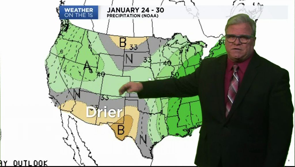
The cold Arctic air that brought wintry weather is moving eastward and away from South Central Texas. An upper-level disturbance swirls over northern Mexico near the Rio Grande plains where some light radar echoes were observed Thursday morning. At the surface the atmosphere is very dry, so little if any precipitation is expected. The disturbance will produce a significant mid-level cloud shield over South Central Texas through the afternoon.
Current Conditions | Radar | Travel Maps | 7 Day Forecast | Allergy
Despite the clouds, afternoon highs are expected in the middle and a few upper 40s. Light south winds develop Thursday afternoon to start a warming trend but most spots will see middle 30s for Friday morning.
Warmer temperatures expected Friday with afternoon highs in the middle 50s. A few sprinkles might fall east of I-35 and south of I-10 Friday night but most areas should remain dry. South winds will increase in the afternoon resulting in morning lows in the 40s
The weekend sees temperatures return to above normal. Saturday and Sunday will see afternoon highs in the upper 60s and low 70ws with partly cloudy skies. Sunday a Pacific cold front pushes through the region with a chance of showers and a few thunderstorms mainly east of I-35. That front will bring temperatures down closer to seasonal normal to start next week.
Check the details in the 7 Day Forecast.
Dan Robertson
Twitter: @TexasThunderman
WEATHER ON THE GO: Download the Spectrum News app and watch our live stream no matter where you are!
GET WEATHER ALERTS: Sign up to receive weather text alerts from the Spectrum News Weather Team


