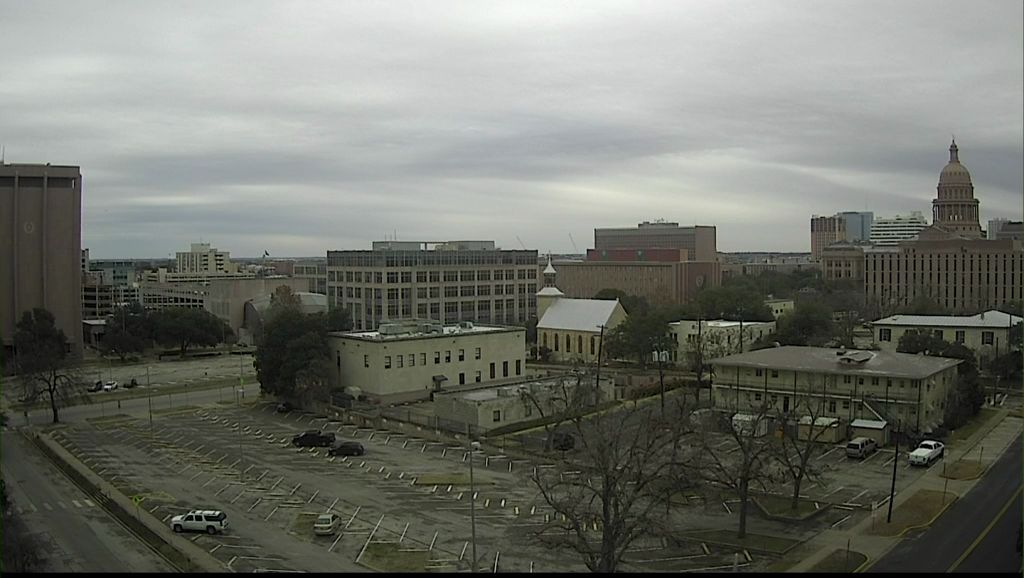
First, a big THANK YOU for all the valuable weather information you sent to us during the winter storm. The pictures and the videos were very valuable.
Central Texas had an interesting transition of weather from Monday to Tuesday. Many areas had rain on Monday night. The colder air moved in with the arrival of the cold front that left Arctic air for Tuesday. The temperatures dropped to below freezing during the overnight hours resulting in the rain changing to freezing rain ... rain that freezes upon impact. That's the reason you had an ice-covered windshield Tuesday morning. During the morning the freezing rain changed over to sleet then light snow with little, if any, accumulation. The snow tapered off during the middle of Tuesday afternoon.
The Arctic plunge kept temperatures Tuesday afternoon in the 20s. There was a little recovery once the precipitation ended. Temperatures Wednesday morning will drop to the teens and 20s. However, a north wind still at 5 to 10 mph will send some wind chills, especially in Bell, Burnet, and Williamson Counties to the single digits. Highs will recover to the mid/upper 30s to around 40. The area will still have a northeast wind under 10 mph.
Afternoon temperatures will warm into the weekend with another cold front due in by Sunday afternoon/night. This front does NOT have Arctic air behind it so there will be some cooling but nothing like Monday night's cold front.
Your 7 Day Forecast has more detail.
Finally, mountain cedar counts are forecast to remain high for the rest of the week.
Stay warm.


