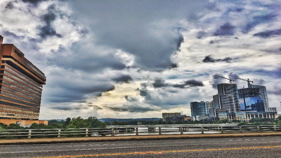
Yesterday's rain left us in the clouds and fog this morning, but we're dry today and warming up into the 60s. Clouds increase overnight, and patchy dense fog will develop after midnight, which may impact your early Monday travel.
Current Conditions | Satellite & Radar | Travel Maps
Allergy | 7 Day Forecast | Twitter
A weak cold front approaches Monday, shifting winds to the north, and bringing a few scattered showers. The forecast calls for a 40% rain chance with highs in the upper 50s to low 60s.
By Monday night into early Tuesday, another storm system approaches from the west with more widespread and heavy rain...even more than we picked up Saturday. Computer models have been hinting at rain totals between 2" to 4+" with this one rain event, which may produce localized flooding. Please check back with us for updates! Right now we'll call for a 70% rain chance Tuesday.
The sunshine returns Wednesday and Thursday, setting up dry and warmer conditions with highs in the upper 60s to low 70s. These will be the best days to catch up on errands and holiday shopping!
We have big transition in our weather pattern next weekend. A strong cold front will arrive by Friday morning with arctic air spilling into Texas. Some moisture is likely to develop as well and with the cold air in place, we could see some wintry precipitation somewhere in Texas for the days leading up to the Christmas holiday. Models have been trending a little drier today, so please keep in mind that we still have a lot of uncertainty this far out, but just wanted to put this on your "radar" since it's one of the biggest travel weekends of the year.
Check out all the details in your7 Day Forecast.
-Meteorologist Emily Borchard


