


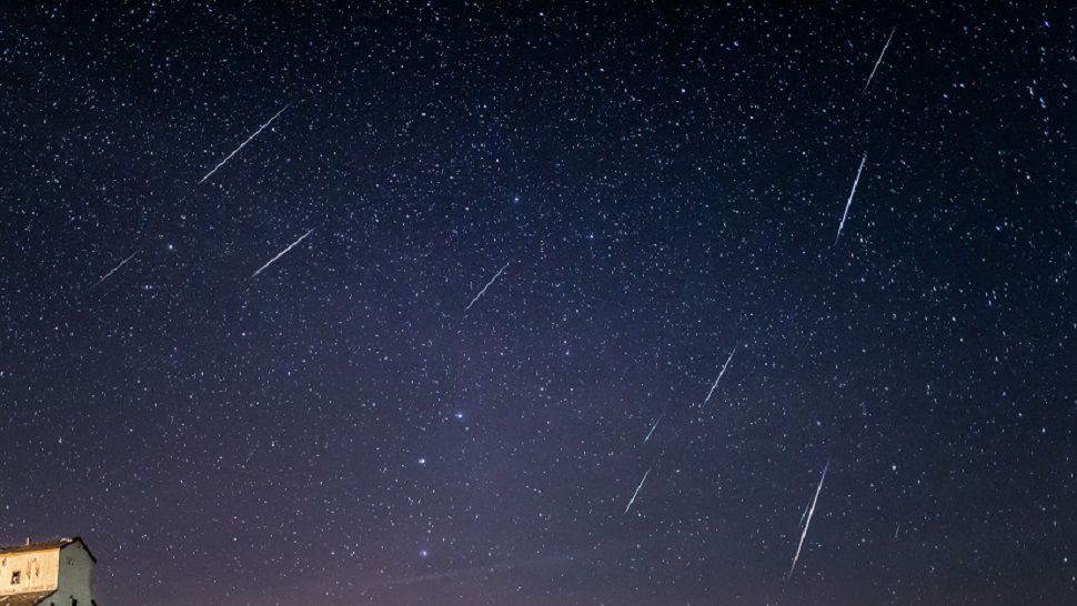
Compliments of the Pacific, those pesky high clouds very slowly budged south during the night, blocking much of the view for skygazers hoping to see the Geminid meteor shower at least early in the night but with some clearing very late. We're looking for brighter conditions the first half of today, with slightly warmer mid 60s on the way this afternoon.
Most will probably not even notice a weak cold front moving through the area this afternoon except for slightly stronger gusts of wind from the north. Those winds will continue to pick up tonight into tomorrow, making for some gusty chill into our Friday. We think morning 40s will feel like 30s out there at sunrise. Without much sunshine during the day, temps will probably stay in the 50s.
Saturday looks to be even cooler, with highs only in the low to mid 50s. And here's what we're watching: an area of low pressure currently near Baja California is forecast to slowly move up to central Mexico where it will likely send more moisture and energy to the Lone Star State. We think showers will start in Deep South Texas to close out the week then move our direction Saturday as the Mexican disturbance races overhead. Futurecast shows rain approaching Austin Saturday afternoon and turning heaviest Saturday night, maybe with some rumbles of thunder at times. The showers should move east early Sunday morning.
One popular model suggests some 1/10th to 1/4 inch accumulations here at home, with 1"+ totals along the coast through Sunday. That said, by the second half of the weekend, our Austin-area forecast puts us back into sunshine with temps climbing up to near 70. A weak cold front is currently timed to arrive late Sunday, ushering in a slight bit of cooling to start next week.
Temps look to run slightly above normal most of next week then a powerful cold front is predicted by our medium range models for next Friday. Multiple models have been pointing to an arctic air outbreak for Texas just in time for Christmas, and it might bring wintry precip our way. The biggest concern would be the threat of ice. Stay tuned as we watch this scenario unfold!
In the meantime, see the 7 Day Forecast for more and be sure to check back here for updates.
Enjoy the weather!
--Chief Meteorologist Burton Fitzsimmons (@Burton_Spectrum)