


We rely on local storm reports submitted by citizens, law enforcement, even the media to help us tell the weather story when we have events like the one last night/this morning wherein sleet and snow were possibilities. There were a few reports of the winter mix that lead to some nice pictures that we are showing throughout the day during Weather On The Ones.
The storm reports received included:
6:59 Wednesday night: Very light snow mixing with rain reported in Llano
8:40 Wednesday night: Sleet reported in Jollyville
Outside of the Spectrum Local News immediate viewing area:
8:30 a.m.: 0.2" of snow measured in Boerne
8:36 a.m.: 2" of snow measured near Rocksprings
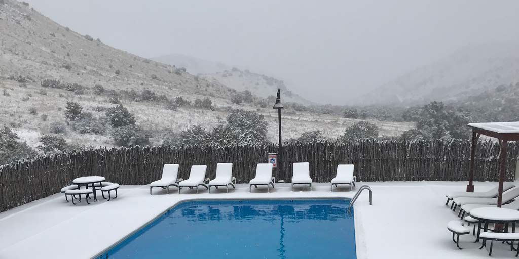
9:00 a.m.: snow accumulating on grass and trees in Kerrville
And, based on those pictures we are showing there was snow reported at Carrizo Springs, Eagle Pass, and Leakey.
The upper-trough is moving to the southeast and will keep rain in south Texas throughout the day and tonight. As the air cools there is the potential of snow developing over night ... in the Lower Valley. Futurecast maps continue to show some light snow forecast in a general area from Corpus Christi to Laredo southward. Yes, there is a chance that Brownsville could see snow for only the third time since 1895.
Locally, the rain ends this evening. Decreasing clouds will occur overnight. Sun returns tomorrow and for several days to come.
The average date of the first freeze at Austin-Mabry is December 2. It is looking more and more like that first freeze will happen tomorrow morning.
A lot of rain has fallen in a short period of time. Local neighborhoods picked up more than one inch and in some cases more than two inches since Tuesday. Two links will help you find out how much: the Lower Colorado River Authority and CoCoRAHS are good sources to get those totals.
Your 7 Day Forecast has more.
Have a good day.