


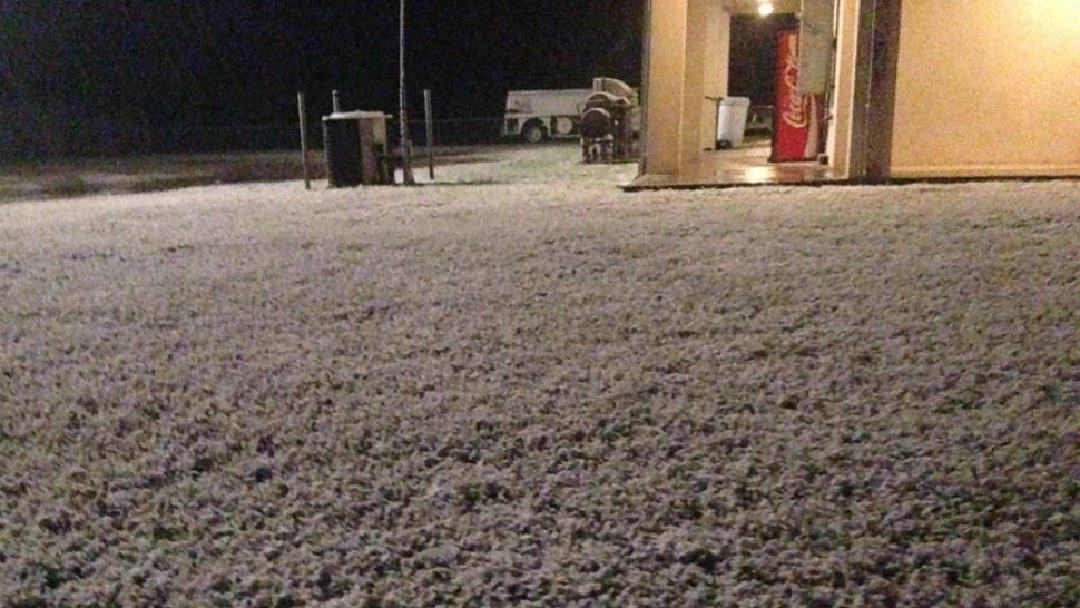
A fairly steady, chilly rain added up to nearly an inch yesterday, setting a new rain record in Austin for December 6th, then it started to turn to sleet and snow during the night. None of the frozen precip is expected to linger long but, for especially the morning hours, we are still dealing with slick travel so be careful out there. Our forecast calls for a 40% chance for precip, mostly during the first half of the day, with temps moving back into the upper 40s this afternoon.
Looking for temperatures & other weather maps? You need not worry, they're here! We also have a new page with current conditions, and be sure to check out our travel section with latest flight delays & forecast across the country.
Thanks to continued gusty north winds, it'll still feel like 30s for much of the day. Then, as skies clear out gradually tonight, we expect to drop to a range of 20s and 30s overnight with a freeze for most areas. By sunrise Friday, I'm calling for a metro low near or slightly below 32 -- potentially our first freeze since January -- and Hill Country locations could dip into the low-mid 20s for a few hours. Make sure you, your pets, and your plants are all protected.
Warming sunshine and dry southwest winds will arrive tomorrow, helping to push temps back into the 50s to nearly 60 degrees for a high to close out the week. High pressure moves back over Texas for a few days, offering a comfortable and seasonable weekend. We'll find chilly 30s both Saturday and Sunday mornings, with highs likely in the mid 60s.
A couple of weak, dry cold fronts could cross the Lone Star State next week. Temperatures generally look to run above the normal 64 most days next week, as seen on the 7 Day Forecast.
Keep warm!
--Chief Meteorologist Burton Fitzsimmons (@Burton_Spectrum)