


A steady rain fell all day Wednesday, something that does not happen too often. A vigorous upper-level trough is moving slowly southeast keeping a plentiful supply of moisture. The precipitation will slowly start to decrease during the overnight hours. Based on present trends it looks like the rain and snow should be gone by 7 to 9 a.m.
Snow? Yes, snow. Colder air in the Hill Country will support the chance of snow especially for Gillespie County into Blanco County during until shortly before daybreak Thursday. Futurecast model runs are showing this rare weather event to deposit perhaps a trace to an inch before it ends from north to south. That might mean seeing a few snow flurries for western sections of Hays and Travis Counties.
Rain totals between Tuesday and Wednesday have exceeded an inch at many locations. You can find out how much rain was measured where you live by checking out a detailed list of rain totals from the Lower Colorado River Authority. An even more comprehensive rain report will be found on the COCORAHS site. There you can go county-by-county.
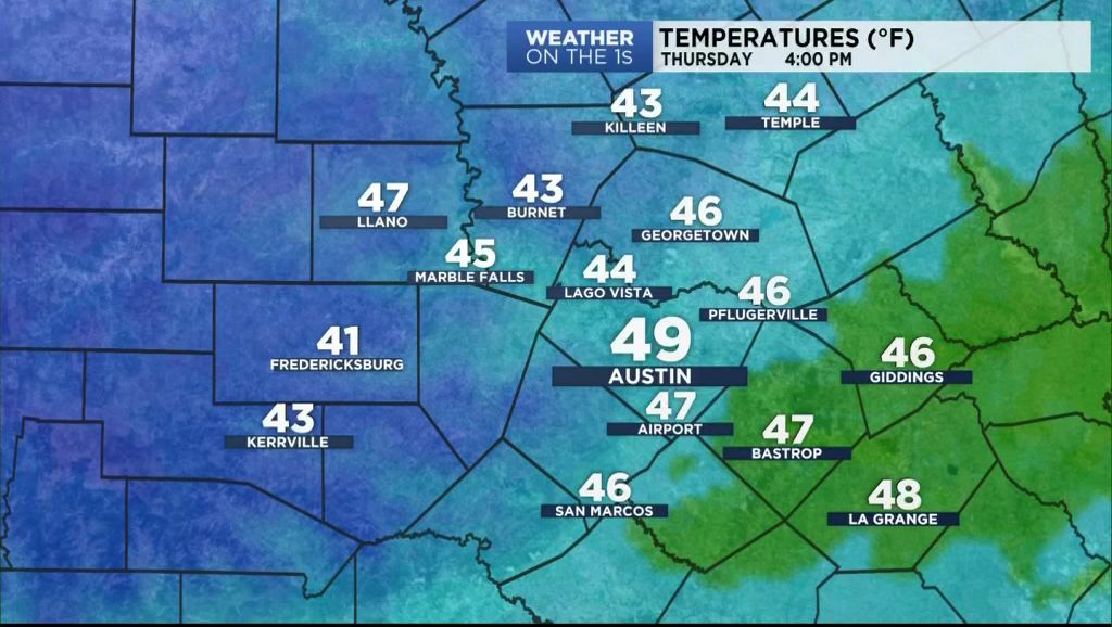
Clouds will remain overhead during the day Thursday. They will clear during the overnight hours Thursday to Friday morning. This will send temperatures dropping to the upper 20s to low 30s meaning the first freeze of the season for many. Friday through the middle of next week will feature mostly sunny days with a bit of a roller coaster in temperatures thanks to a few wind shift fronts.
Take a look at your 7 Day Forecast for specific numbers.
Thanks for checking in.