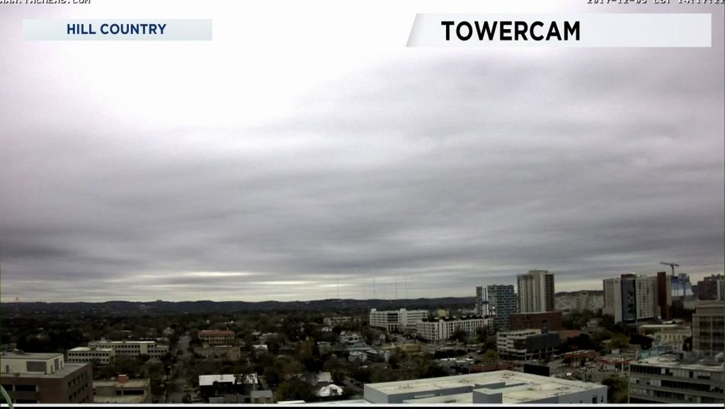
A strong cold front blew through Central Texas Tuesday morning. The front was accompanied by some rain with most totals under .10". Some of the higher totals were .22" at both Cedar Park and Lakeway. Austin-Mabry measured .08" between 5 and 7 a.m. There is more rain on the way.
Temperatures during the day remained constant in the low to mid 50s. For those of our viewers who keep stats the high at Austin-Mabry was 72 at 4:59 a.m. The highest during the day was 57 shortly before noon.
A vigorous upper-level trough will be moving into Texas overnight through Thursday morning with a very good chance of rain. Models continue to show a wide area of rain starting after 3 a.m. Wednesday lasting throughout the day. The rain will linger into Wednesday night before tapering by Thursday morning.
Wednesday will be the coldest afternoon with most highs in the low to mid 40s. A north wind 8 to 15 mph will make it feel like upper 30s to low 40s. Temperatures will begin to warm but remain below normal on Thursday with highs reaching the mid/upper 40s to around 50.
Clouds will thin overnight Thursday to Friday morning allowing for lows Friday to plummet to low to mid 30s. There may well be some upper 20s in some of the low-lying areas and Hill Country.
Friday through the weekend will find a mainly clear sky with much warmer air. Highs will be above normal during the weekend.
Finally, there appears to be a low chance of some snow or snow flurries in areas west of I-35 Wednesday through Thursday morning. Much of that potential is confined to western sections of Gillespie, Kerr, and Llano Counties. The ground is still warm enough that any snow does fall won't measure to much. Still some of you might see a little bit of this winter precipitation.
For more check our your Central Texas 7 Day Forecast.
Stay warm.


