


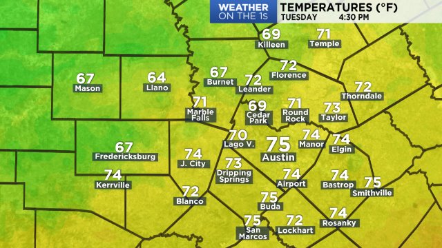
Afternoon temperatures will be BELOW normal (70 degrees) with most maximums peaking in the middle to upper 60s. The wind will come out of the south 5 to 15 mph with the higher wind speeds north of Austin.
Current temperatures:
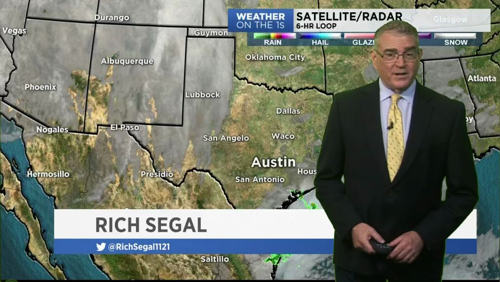
This day started with a flurry of fair-weather cumulus clouds that slowly cleared out by 11 a.m. A ridge of high pressure is centered over the eastern Pacific southwest of San Diego. It will be the area's dominant weather feature through the weekend. The high being where it is is providing a very dry air flow aloft.
Current wind/speeds/gusts:

The week's weather is, on the whole, near-perfect with a lot of sunshine each day.
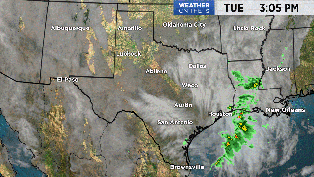
The cold front will arrive tomorrow afternoon/evening. Scattered clouds will fill the sky during the afternoon/evening hours. There is no rain forecast as it appears based on map models that rain will be confined to the coast. Still, during the front's time in the area there will be a less than 10% chance of a few small isolated showers.
Highs will be the in the low to mid 70s tomorrow, dropping to the low to mid 60s Wednesday. Expect a strong north breeze tomorrow night to Wednesday.
The outlook for the holiday weekend couldn't be better. Thanksgiving morning will be crisp with morning minimum temperatures in the low 40s to upper 30s. The air will warm to the upper 60s to low 70s under a mostly sunny sky and with a south wind.
Some of you will get an early start on Black Friday as some storms will open Thursday night. The weather cooperates with a clear sky. Low 60s are forecast at 9 p.m. ... mid 50s at midnight. Highs on Friday will range from the middle to upper 70s.
Your 7 Day Forecast has the rest of the holiday weekend forecast.
Have a good weekend.