


Thanks to yesterday's cold front, we'll enjoy fairly typical October weather across Texas. It was a bit cool out there this morning and it's going to get even chillier tonight! Our forecast calls for highs in the mid to upper 70s falling to widespread 40s tonight. Conditions remain dry until the end of the week, with a good chance for showers & storms as yet another fall cold front arrives in the Lone Star State.
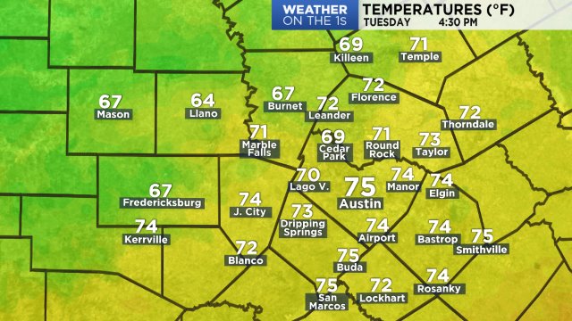
Metro Austin hit a high of 79 yesterday at 2:58 p.m. Temps dropped quickly overnight to make it a cool start to the week. At sunrise:
45 Fredericksburg 10 WSW
47 Jonestown
48 Cedar Park
48 Florence
49 Bertram
49 Marble Falls
50 Elgin
50 Spicewood
51 Blanco
52 Dripping Springs

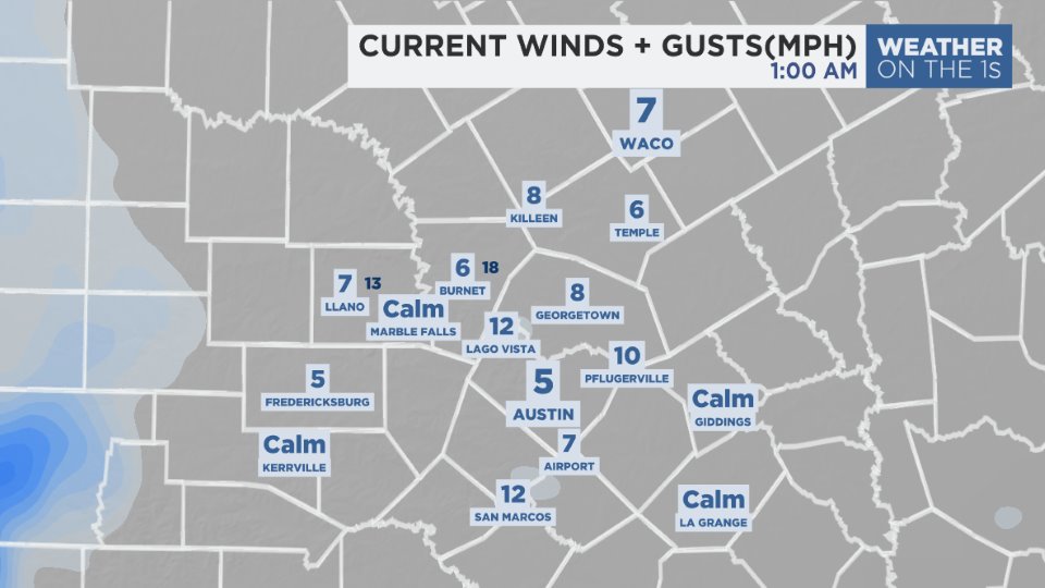
Northerly winds should tame down as the day goes by. For now, it's a cool, gusty breeze at the bus stop:
We're calling for 40s in the metro Austin area for the first time since April 24th!

High pressure aloft will move from over Mexico to Texas during the next three days, allowing for warmer 80s to return the second half of the week. Gulf winds will bring back enough humidity to allow for a slim rain chance as soon as Thursday (20%.) Odds rise to 30% Friday and 40% Saturday, then peak at 50% on Sunday as the next cold front is currently timed to arrive. See the 7 Day Forecast for the daily details. Between now and next Monday, NOAA's rain outlook calls for some 1" to 1.5" potential totals here at home. Computer models show a large disturbance coming towards Texas early next week and it might cut off from the jet stream and simply hang out for a few days, which could add on even more heavy rainfall.
Enjoy the weather!
--Chief Meteorologist Burton Fitzsimmons (@Burton_Spectrum)