


ORLANDO, Fla. — A weak front slipped by us Monday night, but only reinforced the drier air we’ve had in place the past few days.
- Warm days, cool nights
- Late week rain chance
- CURRENT CONDITIONS: Temperatures, heat indexes, trends
- TRACKING THE TROPICS: Formation potentials, Atlantic and Gulf satellite loops, typical storm tracks per month
- SEE BELOW: See our 7-day forecast ▼
This provided us a sunny sky and warmed us into the low to mid-80s across all of Central Florida.
We’ll see a clear sky overnight with lows ranging from the mid-50s in Marion County to the mid-60s in Brevard County.
More sunshine is in store Wednesday, and highs climb right back into the low to mid-80s. Moisture slowly returns Thursday, allowing us to introduce a very low 20 percent afternoon shower chance.
We are forecasting highs in the mid to even upper 80s Thursday ahead of the next cold front coming in for Friday. Rain and rumble coverage increases to 50 percent Friday afternoon with highs in the lower 80s.
- View LIVE Interactive StormTracker 13 Radar Map
- View our LIVE Sky 13 Weather Cameras
- Sign up for Severe Weather Alerts
Behind the front, drier air will allow a decrease in clouds Saturday and highs in the 70s. We are back into the upper 70s and lower 80s Sunday with a quick return of the moisture, and a 20 percent afternoon shower chance.
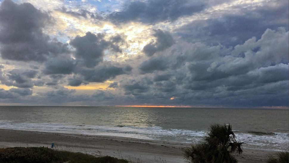
Surfers might be able to catch some decent waves Wednesday morning, with an increase in the east to east-northeast swell and wave heights of three to four feet, occasionally higher.
Our fair morning conditions may become poor at times in the afternoon. An existing ocean swell from distant Oscar will keep the rip current threat moderate, and may increase the danger during high tide cycles.
Tropical Update
In the tropics, Oscar turned north-northeast early Tuesday and will continue to get pushed quickly toward the north Atlantic. This storm is no threat to land. Hurricane season officially ends at the end of November.
Atlantic hurricane season continues through November 30.

We want your pictures!
Show us what the weather looks like in your neighborhood. Your photo could end up on Spectrum News 13.
- Get the Spectrum News 13 app for iOS or Android
- Tap "Submit Content" at the bottom of the app menu
- Remember to include your name and location