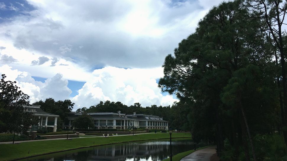
ORLANDO, Fla. — Moisture aloft is slowly on the increase, which allowed for scattered showers and storms Thursday afternoon.
- 90 degrees is the high for Friday
- Continued rain chances
- TRACK THE TROPICS: Formation potentials, satellite loops, typical storm tracks
- SEE BELOW: See our 7-day forecast ▼
A large ridge of high pressure stretched down the eastern seaboard and an upper level low just to our east-southeast will continue to funnel in an onshore flow, bringing a little more moisture across Central Florida.
As the upper level low drifts over us Friday, moisture will increase even more.
We’ll keep overnight rain chances at 30 to 40 percent along our east coast.
Friday through Sunday, coverage spreads out with 60 percent coverage and most of us picking up rain at some point over the weekend.
Highs won’t stray too far from seasonable levels in the upper 80s to lower 90s over the next seven days.
- View LIVE Interactive StormTracker 13 Radar Map
- View our LIVE Sky 13 Weather Cameras
- Sign up for Severe Weather Alerts
Surfing conditions won’t change much the next few days, with an east-southeast trade swell and wave heights around ankle to knee high, occasionally three feet.
The rip current threat is moderate, so keep that in mind when swimming. Eyes on the sky with scattered showers possibly interrupting your beach plans.
Tropical Update
In the tropics, Hurricane Florence has weakened since reaching category four status Wednesday.
Models vary on the eventual path of Florence, so we’re watching it closely. Right now there are no indications this storm will move toward Florida.
It looks like we will introduce Helene and Isaac over the next couple of days with lows near the Cabo Verde Islands favorable for development. This is of no surprise as we are in the peak of hurricane season.
Atlantic hurricane season peaks in September and runs through Nov. 30.

We want your pictures!
Show us what the weather looks like in your neighborhood. Your photo could end up on Spectrum News 13.
- Get the Spectrum News 13 app for iOS or Android
- Tap "Submit Content" at the bottom of the app menu
- Remember to include your name and location


