


HAWAII -- Major Category 4 Hurricane Lane continues to march closer to the Hawaiian islands Wednesday night. It appears that will remain a Category 4 hurricane through early Thursday afternoon as it approaches the western side of the Big Island of Hawaii.
Winds will still be near 130 mph, before Lane encounters cooler surface waters as it approaches Maui by Friday and is downgraded to a Category 2 hurricane. It will still possibly pack winds of 100 mph as it passes to the west of Maui Friday. Not only will Hawaii experience very high winds, but high surface will cause beach erosion as Lane passes by. Torrential rains of 20 inches will cause mud slides along the Hawaiian chain.
It's unusual for Hawaii to get hit by hurricanes even though it looks like a sitting duck in the middle of the Pacific. Only two hurricanes have hit Hawaii in recorded history. Category 1 Hurricane Dot struck the islands in 1959, and catastrophic Category 4 Hurricane Iniki hit the islands in 1992. In 1982 Category 1 Hurricane Iwa had an impact on the islands, but did not make direct landfall.
Typically the sea surface temperatures in the Central Pacific are too cool to support hurricanes, and tropical systems quickly weaken as they travel into the cooler waters. However, currently sea surface temperatures are running 2 to 5 degrees Fahrenheit above normal east of the islands.
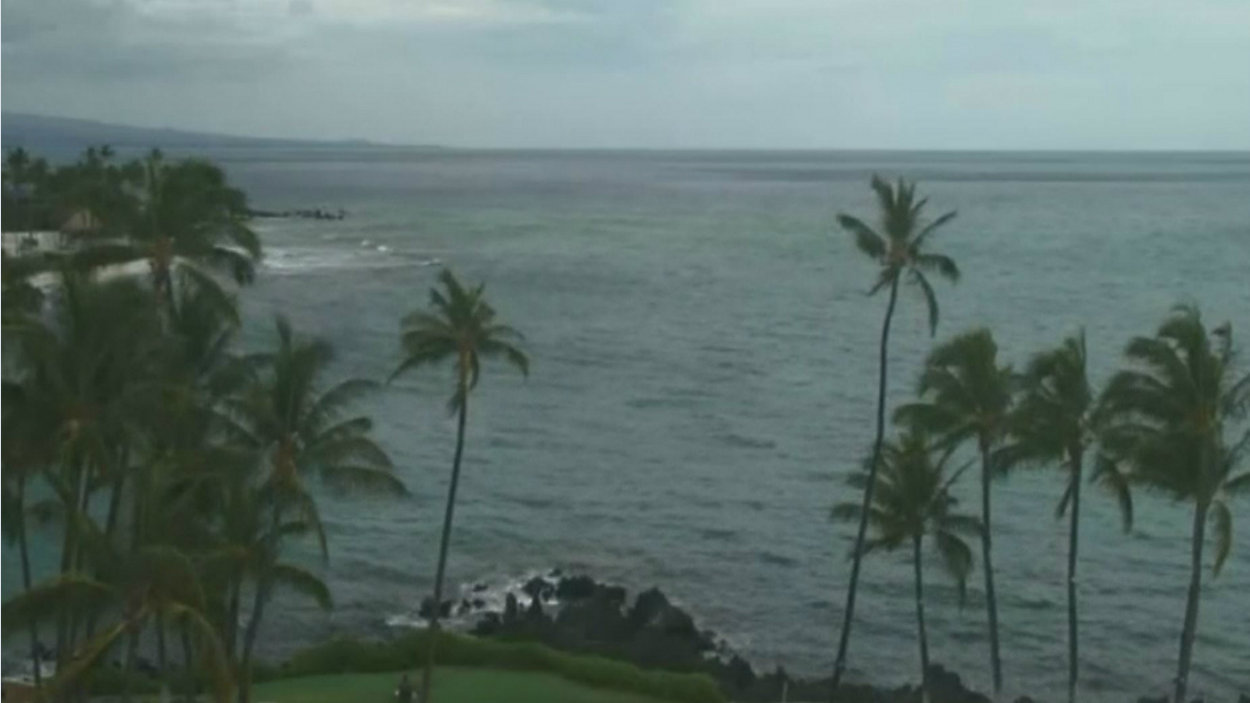
View a live feed from the Hawaiian Islands on via EarthCam, here.