


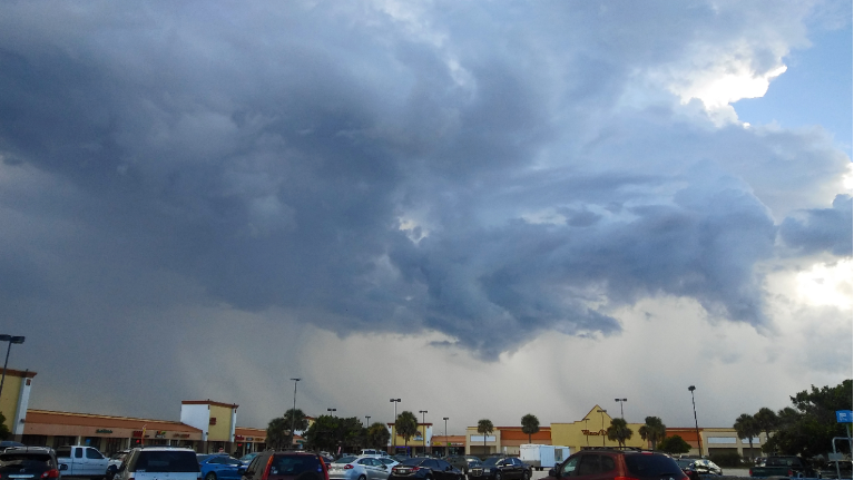
ORLANDO, Fla. -- Strong storms impacted much of Central Florida Sunday. The showers will end overnight, with partly cloudy skies.
Morning lows will be in the mid to upper 70s.
- Showers end overnight
- Storm coverage drops to 30% for midweek
- Back To School forecast
- SEE BELOW: See our 7-day forecast ▼
Slightly drier air is still on the way for Monday. The first day of school for many will be dry in the morning, but scattered showers and storms will be likely by the end of the school day.
The coverage of the rain will be lower than Sunday, with highs in the low 90s.
Even more dry air is on the way for the middle of the week. Expect more widely scattered showers and storms both Tuesday and Wednesday. Highs both days will be in the low to mid 90s.
We are still on track for mostly dry and very warm conditions for the end of the week. Some very dry air will march into Florida, reducing rain chances to just isolated activity. Temps will also take off, with highs Thursday and Friday in the mid-90s.
- View LIVE Interactive StormTracker 13 Radar Map
- View our LIVE Sky 13 Weather Cameras
- Sign up for Severe Weather Alerts
The dry air will remain in place for next weekend, with very warm highs in the mid-90s. Rain chances will begin to uptick as we move into next Sunday.
Boaters should again look out for scattered storms on Monday, with seas 1-2 feet and a southerly breeze.
The surfcast is again very poor, with minimal traces and flat conditions. The rip current threat will be moderate again on Monday.
Tropical Forecast
We continue to watch a disturbance in the North Atlantic southeast of the northeastern US. The system could become a sub-tropical or tropical system early next week, but it has only a low chance for development.
Elsewhere, no major activity is expected over the next 5 days.
The Atlantic Hurricane Season runs through Nov. 30, 2018.

We want your pictures!
Show us what the weather looks like in your neighborhood. Your photo could end up on Spectrum News 13.
- Get the Spectrum News 13 app for iOS or Android
- Tap "Submit Content" at the bottom of the app menu
- Remember to include your name and location