


The winter storm has lifted away from North Carolina and much colder air is now building into the state.
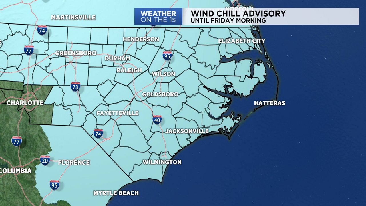
Snow ended early Thursday morning as the powerful winter storm charged north. But, as the storm moves north, it is pulling colder air into our area. With that colder air, we'll see lows in the teens with wind chill values in the single digits to near 0.
This cold pattern will continue into the weekend and, with the cold air in place, the melting of any snow and ice will begin to slowly occur. This means tricky travel conditions will continue into Saturday morning for many areas that saw wintry precipitation.
The forecast does call for moderate temperatures by early next week, as we expect our highs to return to near normal levels for early January.
You can get your latest forecasts by watching Spectrum News.