


Hurricane hunters are on standby to fly into a blossoming area of storms near the Yucatan (satellite loop) that could turn into the first tropical disturbance in the Gulf of Mexico of the year.
FULL COVERAGE: Storm Season 2017
As of 10 a.m. Monday, NOAA's National Hurricane Center calls it a high 80 percent chance for development in the next 48 hours, and a 90 percent chance within the next five days.

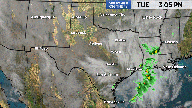
Most of the morning computer models show the storm moving to the North Gulf, yet our in-house model (and a couple others) says the storm could turn more westerly, putting more direct impact on the Middle or Lower Texas Coastline.
In order for a system like this to bring rain to Austin or San Antonio, it's really got to hit around or south of Corpus Christi. Reason being? The counter-clockwise spin puts the heaviest rain on the east side of the storm, which areas west usually stay drier.
Keep in mind, however, that each storm is unique!
Check out the above video for more from Chief Meteorologist Burton Fitzsimmons.