
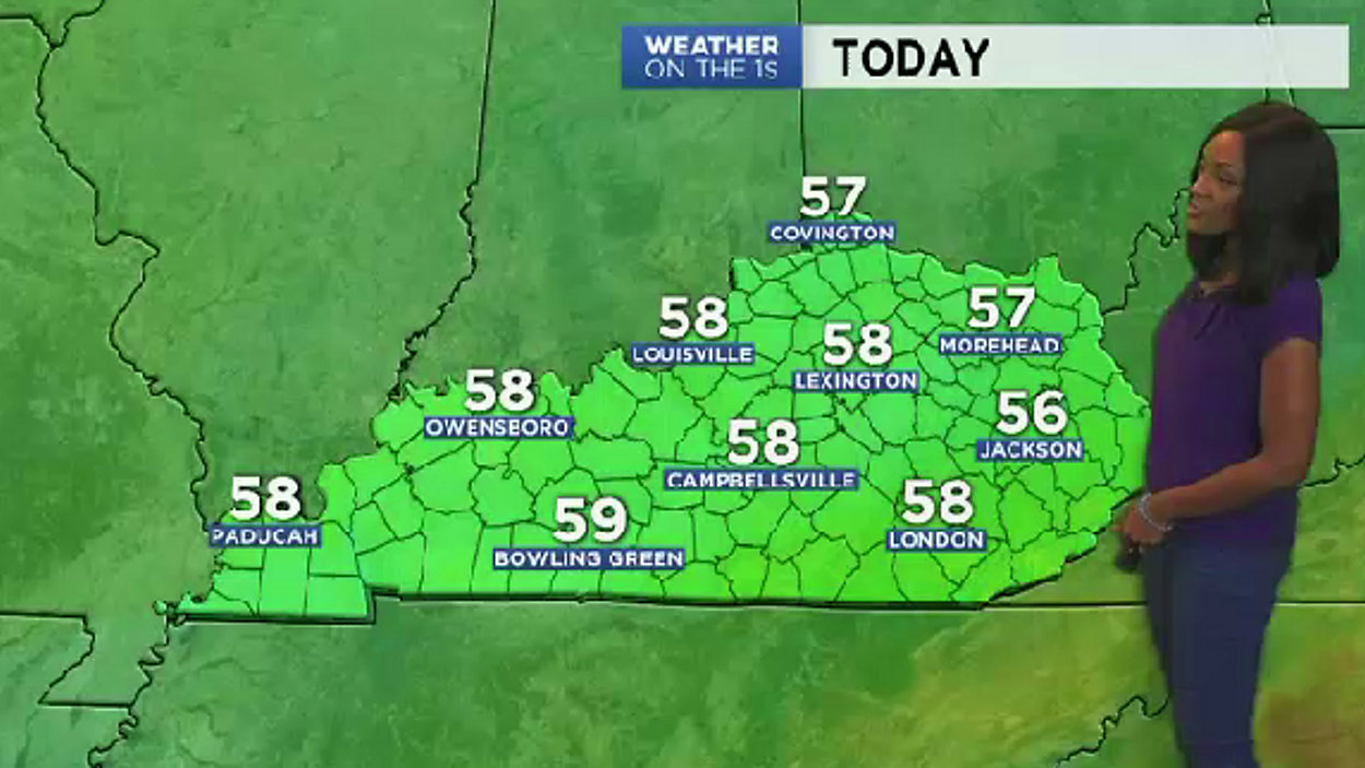
You won't need the umbrella for the next several days. Rain has moved out of the area, and a stretch of rain-free days are on deck courtesy of High pressure having control. Howevever, there will be moments today where there will be more clouds dominating the sky than sunshine (affiliated with a system that'll stay well to our south). There will be a weak cold front that'll cross early tomorrow morning, and it'll just reinforce the cooler than average air that's in place across our State. Highs the rest of the workweek will range roughly 10° - 15° below average into the upper 50s. Overnight lows will be near 40° tonight, and low-mid 30s are likely tomorrow night (frost is expected). Friday, another cold front will move into our region bringing clouds and rain for the afternoon and evening. The rain will linger through early Saturday, then sunshine takes over the rest of the weekend. The weekend still looks to bring a continuation of cooler than average temps with 50s both days...stay tuned.
A Stretch of Dry Cool Days
PUBLISHED October 16, 2018 @6:37 AM