

After 50s this morning, a north breeze continues to push in cold air. We'll only only warm to mid 60s this afternoon.

Today's strongest winds will occur through noon, averaging 10-20 mph. By the afternoon, winds will be in the 7-12 mph range.

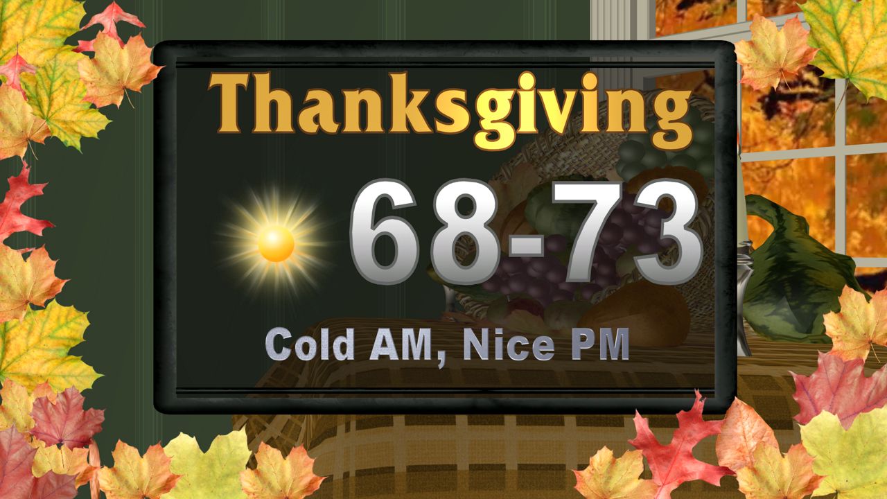
Tonight will be our coldest for at least the next week, as temps will bottom out Thankgiving morning around 40 in town, with most rural areas in the upper 30s, and perhaps even some mid 30s in the Hill Country. Despite the cold start, Thanksgiving day looks ideal with sunshine, low humidity, light winds, and highs around 70-73... perfect if you ask me.
We have warmer days ahead with mid 70s Friday, upper 70s to near 80 Saturday.
Our next cool down and rain chance looks to be Tuesday night to Wednesday of next week.