


ST. PETERSBURG, Fla. — At 2 a.m. Michael remains a Tropical Storm, though it continues to show signs of weakening.
The storm's center is approximately 25 miles east of Macon, Georgia, with 60 mile-per-hour maximum sustained winds. The storm is moving northeast at 20 miles per hour.
Hurricane warnings for the Gulf Coast have been discontinued.
- INTERACTIVE: A look at the most powerful hurricanes to ever hit Florida ▼
- Officials: Hurricane Michael Expected To Be Devastating Storm ▼
- TRACKING THE TROPICS: Watches, warnings, forecasts, spaghetti models
- LIVE: Twitter updates from Spectrum News reporters
- RELATED: Schools Monitor Storm For Possible Closings
- LIVE: Watch Spectrum Bay News 9 online
- SIGN UP: Alerts about Hurricane Michael
- Watch our Tropics updates each hour at :49
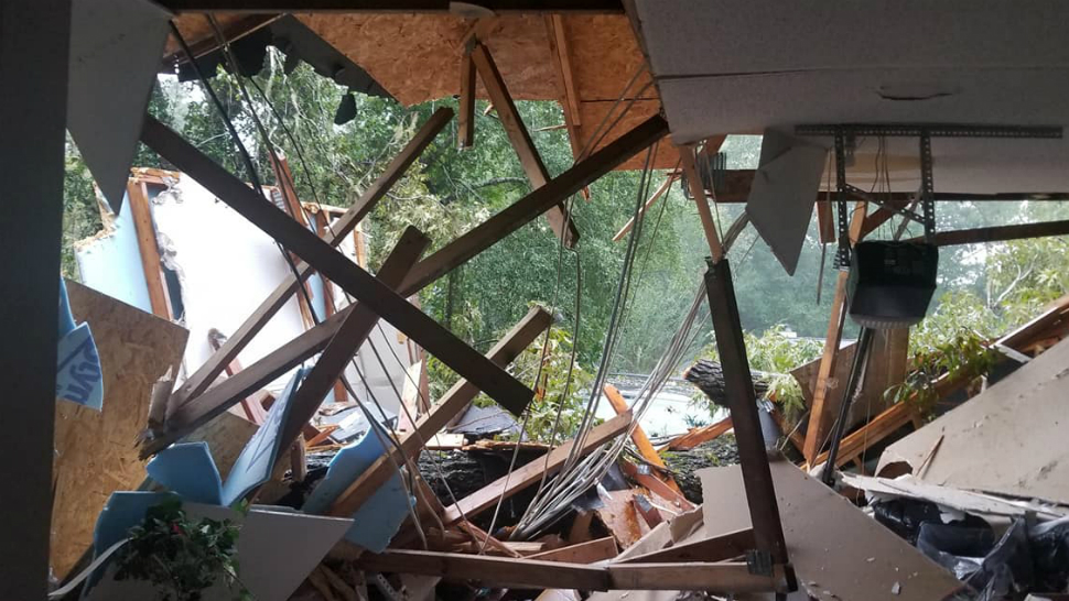
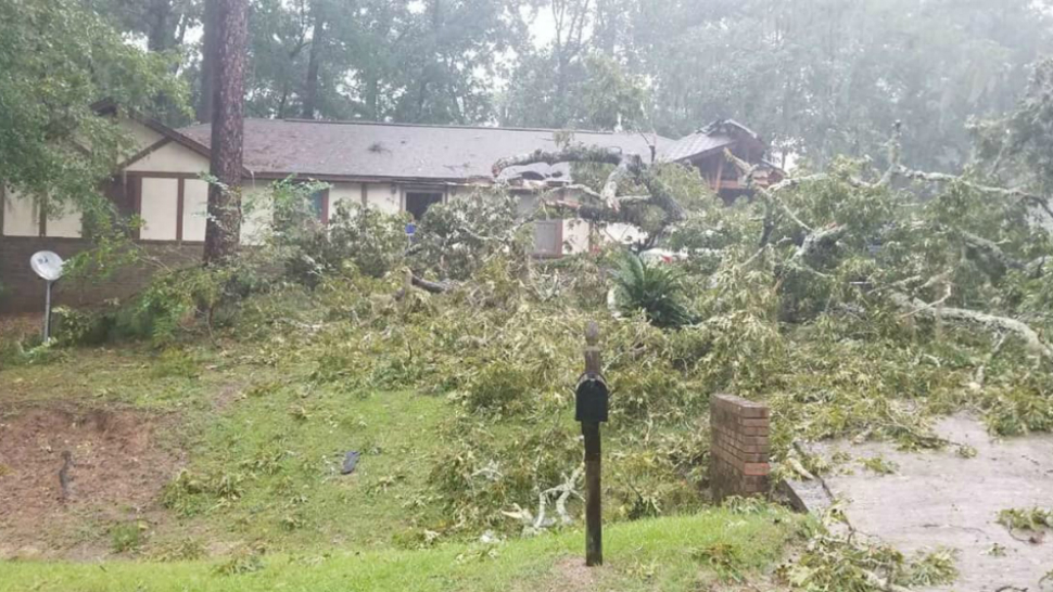
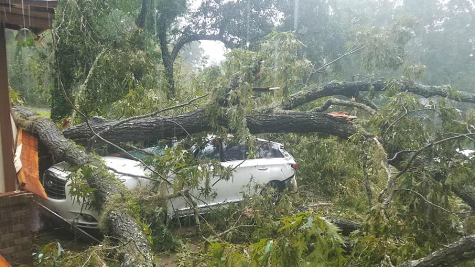
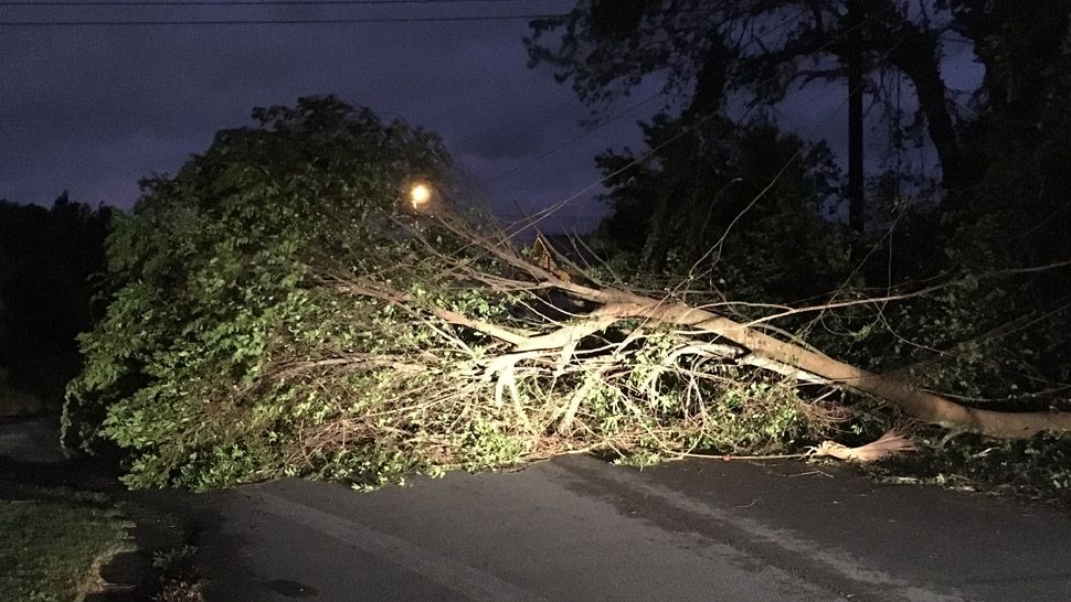
Meanwhile, the storm claimed its first life. The Gadsden County Sheriff's Office reports a tree crashed through the roof of a man's home in Greensboro, trapping him. Downed power lines and blocked roads made it difficult for emergency crews to get to him. The man died.
Michael made landfall around 1:30 p.m. Wednesday along the coast of the Florida Panhandle between Mexico Beach and Tyndall Air Force Base.
The landfall intensity was estimated at 155 mph, which makes Michael the strongest hurricane to make landfall in the continental U.S. since Andrew (1992).
The minimum pressure at Michael's landfall was estimated at 919 mb, which is the third lowest landfall pressure in the United States. A University of Florida observing site measured a minimum pressure of 920.2 mb.
Its winds roaring, it battered the coastline with sideways-blown rain, powerful gusts and crashing waves, swamped streets, bent trees, stripped away limbs and leaves and sent building debris flying. Explosions apparently caused by transformers could be heard, according to the Associated Press.
In Panama City, plywood and metal flew off the front of a Holiday Inn Express. Part of the awning fell and shattered the glass front door of the hotel, and the rest of the awning wound up on vehicles parked below it.
“Oh my God, what are we seeing?” said evacuee Rachel Franklin, her mouth hanging open.
Now that the entire eyewall has moved over land, the intensity has been lowered.
Although steady weakening is expected as Michael moves over the southeast U.S. through Thursday morning, hurricane-force winds will continue to penetrate inland over the Florida Panhandle, southeastern Alabama, and southwestern Georgia through this evening.
Michael will continue moving northeast across Georgia, then South Carolina Thursday morning and North Carolina Thursday afternoon. It will exit into the Atlantic Thursday night as a tropical storm.
Hurricane force winds extend out 30 miles from the center, while tropical storm force winds out 160 miles out.
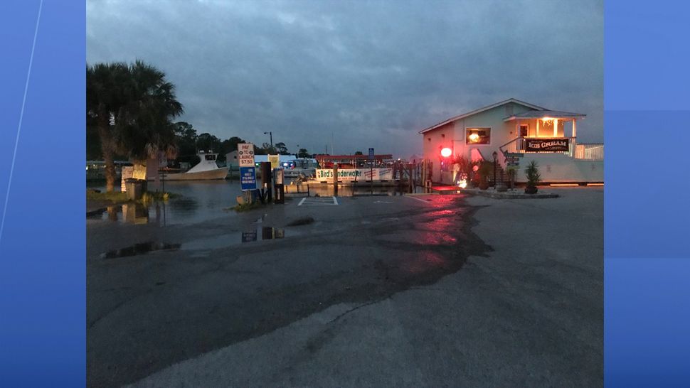
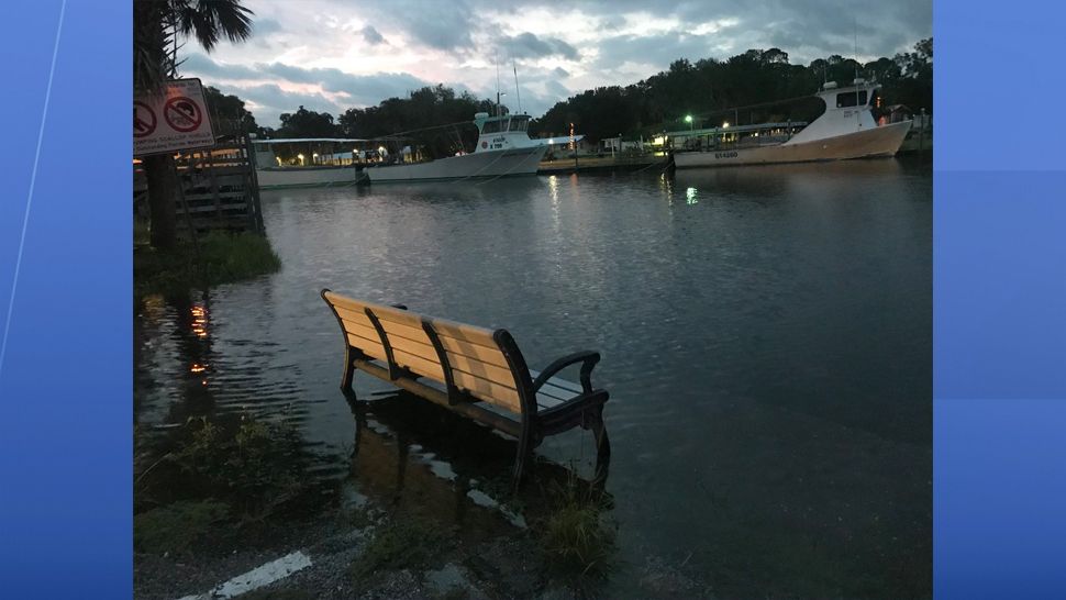
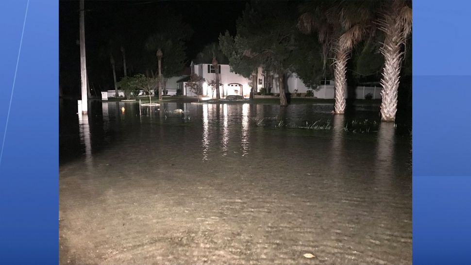
Water levels remain high in the Big Bend area where winds are still onshore. Winds will not become offshore there until Thursday afternoon.
Three to six inches of rain is expected in Georgia, South Carolina, North Carolina and southeast Virginia.

For the Tampa Bay region:
Southwest winds will keep our tides 1.5 to 2 feet above normal through Thursday — 2-4 feet above normal for Citrus County.
Minor coastal flooding, rough surf, and rip currents will still be a threat across our Gulf Coast.

Hurricane Leslie and Tropical Storm Nadine
Elsewhere in the tropics, Tropical storm Nadine developed yesterday over the eastern Atlantic and is moving to the west-northwest with winds of 50 mph. This storm poses no threat to land.
Leslie has returned to hurricane status with winds of 75 mph. It is located about 1,780 miles west-southwest of the Azores. It is moving to the south at 9 mph. Leslie will continue to move to the southeast over the next several days, taking Leslie across the central and eastern Atlantic.
Hurricane season runs through Nov. 30.