


RALEIGH, N.C. -- The calendar may still say "fall" but it looked a lot like winter across much of North Carolina on Sunday and Monday.
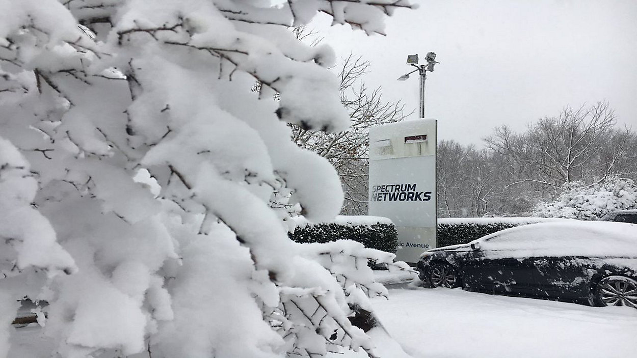
An early season winter storm dropped snow from the mountains to central North Carolina on Sunday. The storm set record snowfall totals for the date at numerous National Weather Service reporting stations.
- Church, Business, and School Closings
- Travel Impacted by Winter Storm
- Why You Shouldn't Drive on Snow Covered Roads
Raleigh and Chapel Hill saw about 8 inches of snow and Durham saw as much as 14 inches.
Driving conditions were poor for much of the region throughout the day Sunday as well as on Monday. Many school systems including Wake Co., Chapel Hill-Carrboro City, and Durham Public Schools will remain closed on Tuesday. Governor Cooper continues to urge citizens to stay home this evening if they do not need to drive, especially with black ice becoming a greater issue as the temperature dips.
Approximately 172 Guard members and 69 vehicles have been deployed to respond to the storm.
Governor Cooper also mentioned that the storm has claimed lives.
The low pressure behind our wintry weather will continue to move east away from our area as high pressure builds in from the west. Expect clearing skies through the morning as we climb from below freezing temperatures. Highs today will be warmer today compared to yesterday, but still below average. Daytime highs will likely range between the mid to upper 40s for many. Normal highs for this time of year is in the mid 50s.
With high pressure building in, dry and fair conditions will dominate the mid section of our workweek. Expect sunny skies and gradually warming temperatures Wednesday and Thursday. Highs will be near 50 both days.
Our next storm system will likely arrive early Friday morning. Clouds will grow in late Thursday and showers will grow in to the area Friday morning. Based off the latest data this will be quite a soaker for the state. Expect widespread rain Friday and through most of Saturday. By Saturday night, rain will taper off and skies will clear making way for clear Sunday.