


RALEIGH, N.C. -- The calendar may say fall, but a winter storm is taking aim at the state.
- West of I-85 has the best chance of seeing a significant accumulation of snow and sleet
- Along the I-95 corridor, we may see a light accumulation of snow and sleet
- Precipitation will wrap-up on Monday afternoon
Only twice in weather history have we had an early December winter storm that has brought 6 inches of snow or more to central North Carolina. The first occurred on December 2, 1896 in which the Triangle received 6.5 inches of snow. The second storm occurred on December 11, 1958. That system dropped 6 inches of snow across central North Carolina.
So as you can see, winter events like this are pretty rare for our area.
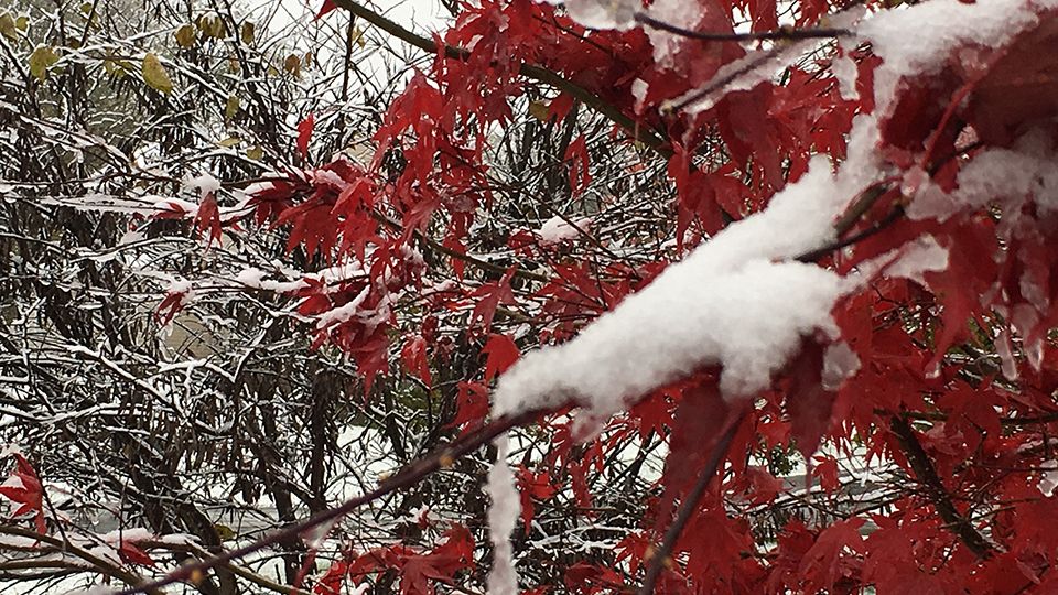
The forecast for this weekend's storm is complex. West of I-85 has the best chance of seeing a significant accumulation of snow and sleet. Between I-85 and I-95, we are looking at more of a mix of precipitation types over the next 24 hours with snow and sleet changing to freezing rain and possibly all rain by Sunday afternoon. Along the I-95 corridor, we may see a light accumulation of snow and sleet. Additionally, just east of I-95 we should see all rain.
Winter Storm Warnings and Winter Weather Advisories are posted for most of our area from early Sunday morning into Monday evening.
Wintry precipitation develops overnight and continues into Sunday. Some parts of central North Carolina may see a transition to freezing rain and rain. More snow is expected west of I-85. More rain is expected east of I-95.
Precipitation will wrap-up on Monday afternoon with sunshine back in the forecast for Tuesday.
Refreeze issues are expected Sunday night, Monday night and Tuesday night. We may see travel concerns due to this system into the middle of next week.
Stay with Spectrum News for your latest winter weather forecast.
Get the latest news, sports and weather delivered straight to your inbox. Click here to sign up for email and text alerts.