


ORLANDO, Fla. — Mother Nature can't seem to make up her mind, with well below average temperatures last week, then record breaking heat Sunday.
- Temps in the 80s Monday
- Rain chances also increase
- Next cold front on Tuesday
- CURRENT CONDITIONS: Temperatures, heat indexes, trends
- TRACKING THE TROPICS: Formation potentials, Atlantic and Gulf satellite loops, typical storm tracks per month
- SEE BELOW: See our 7-day forecast ▼
We have the 80s in our forecast again Monday with rain chances coming up just a bit. Isolated claps of thunder are also possible, but we're not expecting anything severe. Well above average highs are back with us as we climb back up and flirt with record highs in the 80s.
The next cold front drops in late Tuesday, bringing a few showers and isolated storms, then the next brief round of cool air. We'll warm into the 70s Tuesday, then drop back into the 60s Wednesday. High pressure slides back over us and provides plenty of sunshine Wednesday through Friday, while an approaching system next weekend brings us increasing clouds Saturday and storm chances by next Sunday. Highs Friday through Sunday will be above average well into the 70s.
- View LIVE Interactive StormTracker 13 Radar Map
- View our LIVE Sky 13 Weather Cameras
- Sign up for Severe Weather Alerts
Poor surfing conditions are with us Monday thanks to low wave heights around one to two feet, and an east-southeast swell with an underlying north-northeast mix. We’ll have enough of a long period swell to keep the rip current threat moderate, so use caution if swimming. Sea surface temps are currently in the mid-60s along the Flagler and Volusia County coastlines, and closer to 70s along the Brevard County coast. Keep an eye on the sky for some scattered showers and storms.

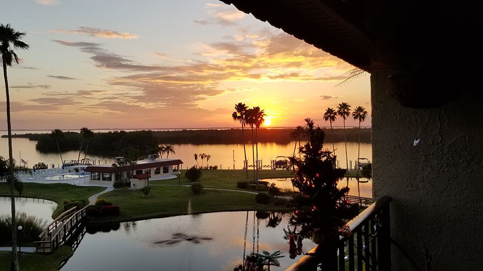
We want your pictures!
Show us what the weather looks like in your neighborhood. Your photo could end up on Spectrum News 13.
- Get the Spectrum News 13 app for iOS or Android
- Tap "Submit Content" at the bottom of the app menu
- Remember to include your name and location