


After a milder start to the workweek, we'll start a cool-down that will continue through the rest of the week on Wednesday.
A frontal system crossed North Carolina on Tuesday but the cooler air lagged behind a little and we saw near normal temperatures Tuesday afternoon.
That chillier air is now building into the state and this will set the stage for cooler temperatures through the end of the week.
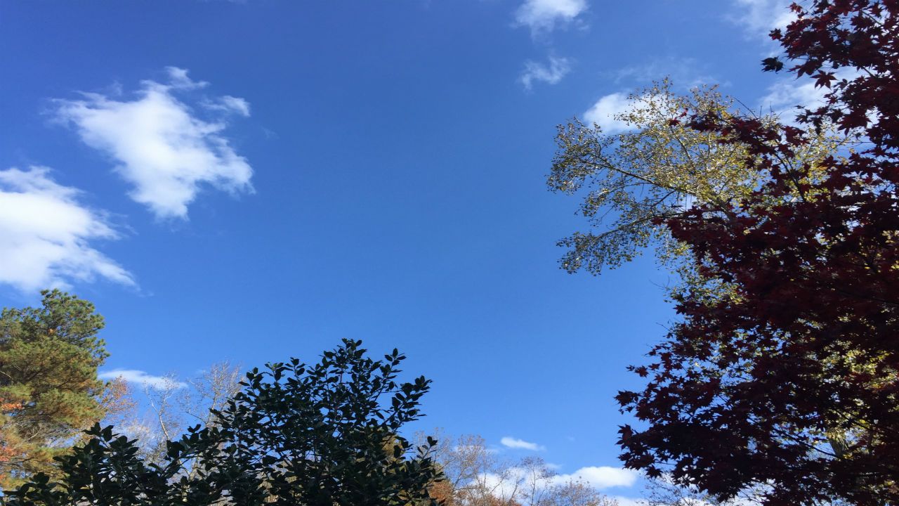
High pressure will give us clear skies tonight and wall-to-wall sunshine on Wednesday. Daytime highs on Wednesday with run about eight to ten degrees below average.
Another cold front drops into the area on Thursday. This will make for another drop in temperatures for Thanksgiving Day and for Friday.
Our next chance of rain will move into the area on Saturday.
In the tropics, no tropical cyclone development is expected over the next three to five days.
Watch Spectrum News for your latest local forecast.