


Another cold front will pass through North Carolina this weekend bringing showers for Saturday and another blast of cooler air by Sunday and early next week.
- 7-day forecast
- Interactive radar
- Share your weather photos with Meteorologist Lee Ringer on Facebook
Before the front arrives, we are in for another full day of sunshine Friday. That will take us from a chilly morning to a mild afternoon. Highs should top out near 70.
We will see more clouds starting Friday evening. Those clouds will act as a blanket, so it will not cool down nearly as much as Thursday night. Lows will only drop to the upper 50s to near 60.
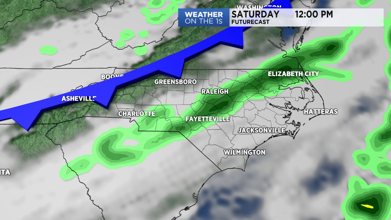
The cold front will move through the state Saturday bringing showers to central North Carolina off and on from the morning through early afternoon. Less than half an inch of rain is expected. Highs will still warm to near 70 around the Triangle and to the mid 70s in the Sandhills.
Cooler temperatures will return Saturday night along with clearing skies. Lows will drop to the 40s for Sunday morning. Despite all day sunshine Sunday, highs will only warm to the 50s.
Temperatures will then drop to the mid and upper 30s over much of the region late Sunday night. That could bring the first patchy light frost to some neighborhoods by sunrise Monday.