


NORTH CAROLINA -- The southern tip of a weak upper level disturbance that's moving across the northeast is bringing cooler weather to the Carolinas.
- Across the Greensboro-Triad area, expect highs near 70 degrees
- Raleigh and the Triangle area will likely reach the lower 70s
- Down in the Sandhills, areas like Fayetteville and Southern Pines can expect max temperatures in the mid 70s
This will continue sliding east and eventually offshore as sky conditions across the Carolinas clear through the morning. By midday expect mostly sunny skies as temperatures gradually climb.
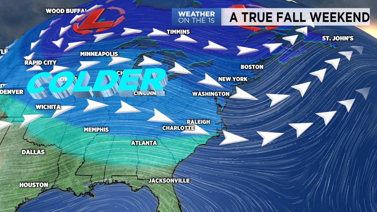
After a warm start to fall that fell a lot like summer part two, we are now feeling true fall conditions.
After a morning start in the 50s, temperatures will climb into a mild setting this afternoon. Across the Greensboro-Triad area, expect highs near 70 degrees. Raleigh and the Triangle area will likely reach the lower 70s. Down in the Sandhills, areas like Fayetteville and Southern Pines can expect max temperatures in the mid 70s.
With high pressure moving in this weekend, we'll enjoy a sunny day this afternoon. However, it will shift offshore Sunday in advance of an approaching cold front. This will allow clouds to build in through the day Sunday and rain to eventually return as early as Monday afternoon.
The workweek looks to start off soggy with a scattered rain chance Monday, Tuesday and Wednesday.