


A lot to unpack with our weather over the coming week Surface high pressure and an upper level ridge of high pressure remain in the area today and tomorrow. Tropical Storm Michael is forecast to move north across the Gulf of Mexico during this time and begin impacting the Carolinas by Wednesday. Michael could upgrade to a category 1 hurricane later today, and a cateogry 2 hurricane Tuesday.
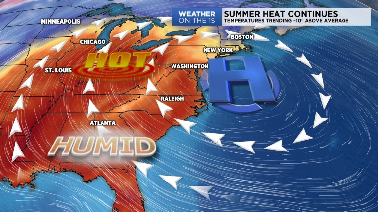
Until then, we'll continue our Summer-like trend with temperatures well above normal today and tomorrow afternoon. Highs will range between the mid to upper 80s each day with an isolated chance for rain. Both days will be muggy, but the humidity will turn oppressive Wednesday as the tropical moisture from Michael surges into the region.
Michael will bring widespread rain to our area beginning Wednesday. The rain may be heavy at times as Michael moves through late Wednesday and Thursday. The good news is Michael is a quick moving storm so we are not expecting huge impacts like we had with hurricane Florence. Yes, isoalted flash flooding may be possible for poor drainage and flood prone areas. But do not try to relate Michael to Florence. The two storms are completely different.
After the heat and tropical activity this week, a cold front will sweep through the area Friday. Behind the front, a cooler and drier air-mass will infiltrate the area. Temperatures look to drop below average into the low to mid 70s next week.