


Another day with warm temperatures and a good mix of sun and clouds above. Surface high pressure is keeping our weather mostly dry. A weak upper level disturbance moving through the region has produced a few showers northwest of the Triad. But this rainfall should dissipate before diving southeast into the Triad-Piedmont area. So after a day where many will feel Summer-like warmth in the 80s, we'll gradually cool into a mild night in the 60s.
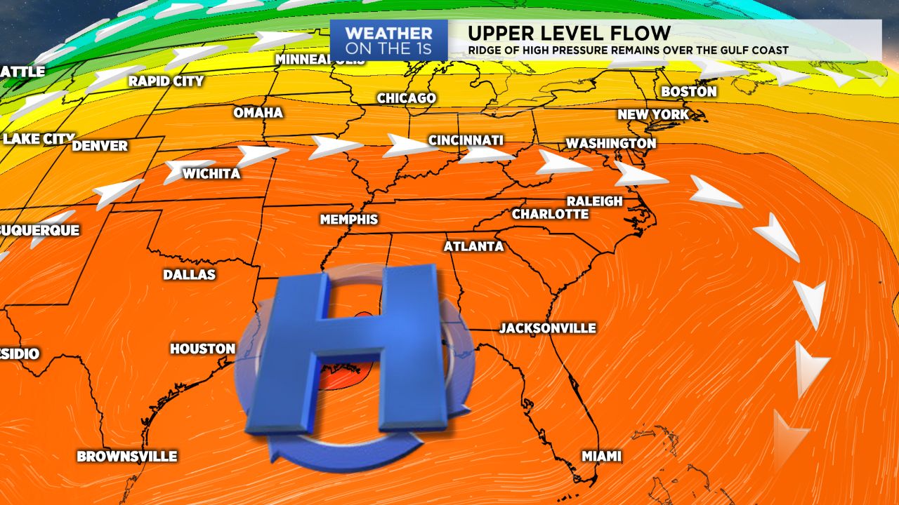
Upper level ridging will retrograde and move into the lower Mississippi Valley Wednesday. This will allow for a trough to build in to the area. Moisture looks to limited for any rain Wednesday but that may change by the end of the workweek as a cold front approaches from the northwest. The arrival of the front will push the surface high pressure that's currently over North Carolina south. Now timing and the progression of the front is still up for debate. But based off the latest data at this point we're in for a small cool down this weekend and a small chance of rain Saturday and Sunday. Many will be dry and underneath partly sunny skies, and only a few will see rain. This forecast will come together over the coming days as forecast models show more agreement. Until then enjoy the dry, warm weather because we know it's only a matter of time before conditions turn cool for good.