


Quite a bit to talk about as we begin our weekend, so lets dive in. The remnants of Gordon will move into the Ohio River Valley today, this arrival will push a stalled front over Virginia into central North Carolina this afternoon. Isolated to scattered storms will be best suited for the Triad and the Triangle. The weak front will likely not dive as far south as the Sandhills, thus keeping southern N.C. drier and warmer. Daytime high temperatures will range from the mid to upper 80s for the Triangle and the Triad, and likely peak in the low 90s for for the Sandhills.
The front will likely stall across the state ensuring unsettled weather carries over into Sunday. Expect mid 80s for afternoon highs for many with a few showers possible mainly in the afternoon. The front will likely begin to lift north out of our area late Sunday/early Monday. Then all eyes will be on Florence.
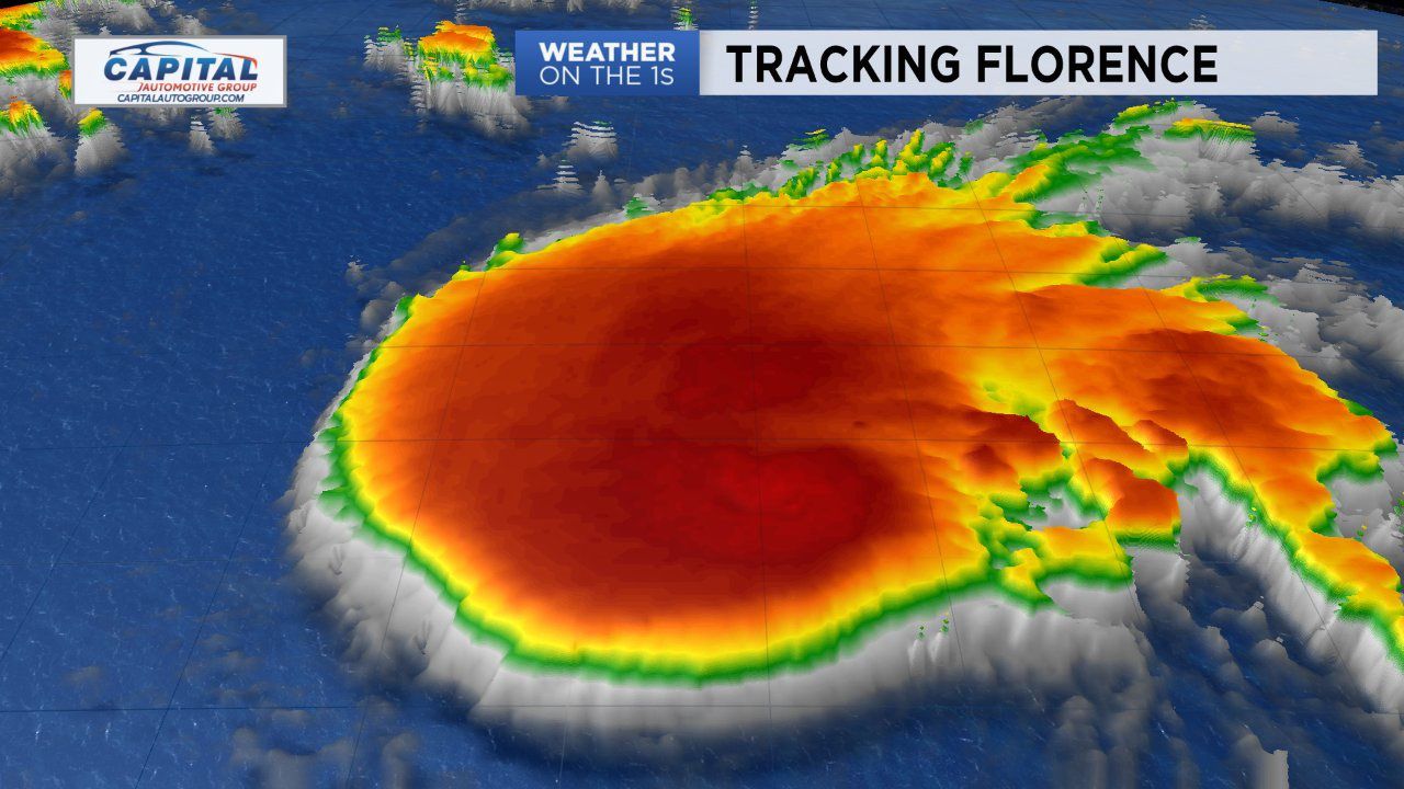
TROPICAL UPDATE
- Florence is strengthening and will likely upgrade to a major hurricane next week
- Forecast confidence regarding a direct impact for the East Coast, including the Carolinas is growing
- This is a potential devastating storm that needs to be monitored closely
Florence is still well over the Atlantic but its already causing moderate to high rip current risks along North Carolina's beaches. There's still some uncertainty in its forecast track, but confidence is growing that it could directly impact the East coast. If this were to happen this would occur during the back-half of the upcoming workweek, so Wednesday through Friday. If an area of high pressure strengthens over the Atlantic, that will increase the odds of Florence directly impacting our region. Another scenario shows the high weakening, allowing Florence to move north and staying more so over the Atlantic. We'll be watching closely, so continue to stay connected as we continue to watch Florence closely and analyze the latest data as it becomes available. We'll continue to provide updates around the clock.
In the meantime, this weekend is a good time to make sure you have a hurricane plan. You may need to activate that plan next week. Now is the time to prepare just in case Florence does arrive next week.