


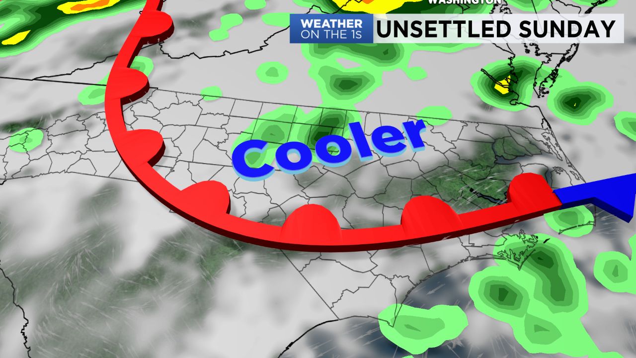
A cold front will settle south across the region Saturday night and early Sunday likely stalling across the state keeping us in an unsettled weather pattern for Sunday.
- Low to mid 80s for Sunday, maybe 90s for Sandhills
- Scattered showers are likely
- Florence is causing rip currents along the coasst
Expect low to mid 80s for Sunday afternoon highs, although the Sandhills could make it to near 90. Scattered showers are likely with a few afternoon thunderstorms possible in the afternoon. The front will lift north out of our area Sunday night into Monday.
On to Florence which is still well out over the Atlantic. It is already causing rip current issues along the coast. As usual, there is still some uncertainty in its forecast track, but confidence is growing that it could directly impact the East coast. The time frame for this happening is during the latter half of the upcoming work week: Wednesday through Friday.
If an area of high pressure strengthens over the Atlantic it will increase the odds of Florence directly impacting the Carolinas. Another scenario shows the high weakening, allowing Florence to move north and staying more so over the Atlantic.
Now is a good time to make sure you have a hurricane plan in place just in case Florence does arrive next week.
We'll be watching closely, so continue to stay connected as we continue to watch Florence and analyze the latest data as it becomes available.
Get the latest news, sports and weather delivered straight to your inbox. Click here to sign up for email and text alerts.