


Friday will tack on yet another day of near 90-degree heat before approaching cold front brings changes over the weekend. Expect an unsettled, stormy weather pattern to take hold late Saturday into next week. In the meantime, the track of Florence remains uncertain but bears close watching.
The hot and fairly dry forecast we've dealt with day after day will persist for another day before finally breaking down. Expect another day in the low 90s for many Friday with minimal chances for showers and storms.
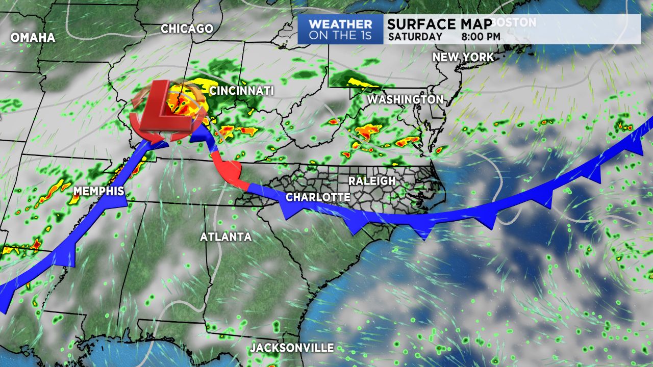
The cold front will begin sagging south into the region late Saturday, bringing a slightly better chance for afternoon scattered storms Saturday afternoon. We'll feel a very small cool down Sunday as highs return to near average in the mid 80s coupled with abundant cloud cover and a greater chance for showers and storms.
An unsettled weather pattern will continue across North Carolina next week, where we will be watching Florence closely. Now down to tropical storm status, Florence will again strengthen into a major hurricane by early next week as it moves into warmer waters near Bermuda. While the actual degree of interaction with the East Coast remains uncertain so far, expect larger ocean swells and an increasing rip current risk across the North Carolina coast by this weekend and into next week. The coast should begin thinking about having a plan in place as some models are beginning to agree on taking it a little too close for comfort to the coast.
Get the latest news, sports and weather delivered straight to your inbox. Click here to sign up for email and text alerts.