


For most of the week, we've dealt with hot and humid conditions. For the last day of the workweek, we'll be dealing with more heat and humidity.
Through the rest of the night, expect mostly clear skies with warm overnight low temperatures. Areas of fog may develop overnight into early Friday morning.
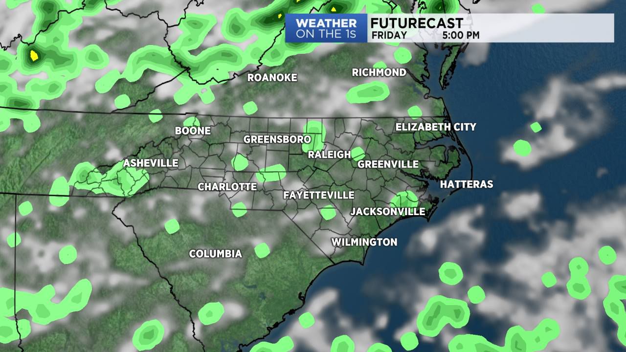
Skies will become partly cloudy on Friday with hot daytime highs along with a slight chance for a few afternoon showers and thunderstorms.
A cold front is expected to slip into North Carolina on Saturday and linger across the state into Sunday. This system will give the region a little more clouds and a better chance for afternoon showers and thunderstorms. With the increase in clouds and rain chances, we'll see lower afternoon highs during the weekend.
In the tropics, we continue to monitor the progress of Hurricane Florence as it moves across the Atlantic. Its forecast track remains unclear at this time. Two other disturbances near the coast of Africa are expected to become tropical cyclones in the next few days.
Stay with Spectrum News for your complete local forecast and updates on the tropics.