


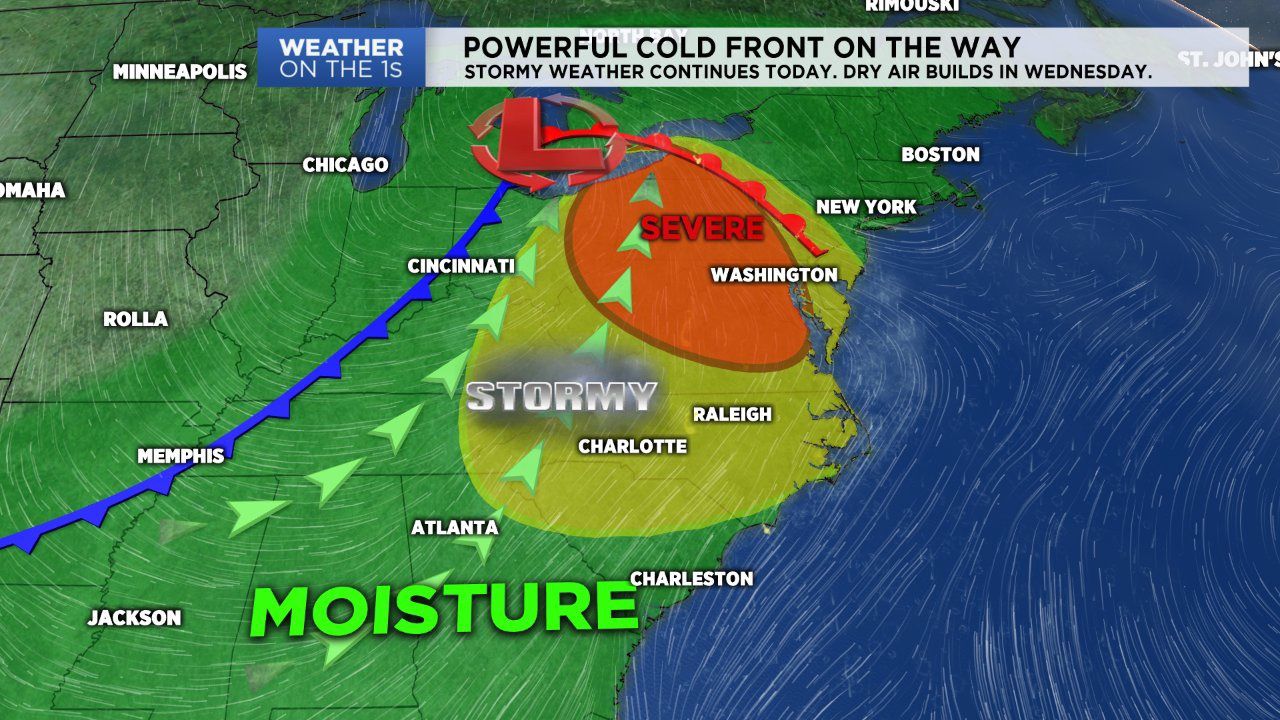
A near stationary front that's been sitting just to our north over southern Virginia will lift north as warm front Tuesday. Following this boundary, a cold front will approach from the west and begin to sweep across the state. This strong cold front will likely cause showers and storms Tuesday and Wednesday before ushering in much cooler, drier air Wednesday night.
After another early morning run-in with showers and storms, expect storm activity Tuesday to begin late. This is a similar scenario to what we went through Monday.
Through the day Tuesday, expect more clouds than sun as temperatures gradually warm up into the mid 80s to low 90s. The possibility of a few storms impacting the area begins as early as 1 PM. But it's likely much of the area will not see any shower or storm activity until later in the afternoon and through the evening hours. With this late start, we'll likely deal with storms rumbling through late tonight and spilling over into early Wednesday morning.
The front will still be making its was east through the state Wednesday morning, so expect a few showers and storms in the area. By Wednesday afternoon the front will likely be to our east, and we'll truly begin to have drier air filter in to the area. By Wednesday night the front will stall over the coast as cooler, drier air continues to fall in behind it. It's likely lows will fall into the mid 60s Wednesday night.
The news only gets cooler as we look towards the end of the workweek. Thursday, Friday and Saturday will have similar weather conditions. Each day will feature mostly sunny to partly cloudy skies, with afternoon highs in the mid 80s. Lows each night will range from the low to mid 60s.
Get the latest news, sports and weather delivered straight to your inbox. Click here to sign up for email and text alerts.