


With storms taking a backseat today, temperatures are the majoy concern today. Highs across the state maxed out in the low to mid 90s. Dewpoints climbed into the low 70s, forcing heat index values into the upper 90s to low 100s. Yes it was a stifiling hot day all across North Carolina and rain coverage was isolated at best.
Looking ahead to tonight, most will be dry and very warm as only a few small scale storms linger across central and eastern North Carolina. Temperatures will rest in the low 70s for an overnight low but due to our high amount of moisture it will still feel like the 80s.
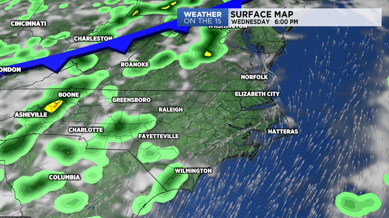
A cold front is on the way and it will look to enter western N.C. late Wednesday. Ahead of the front will continue with our warm and muggy mornings, followed by hot and humid afternoons with a few storms.With the front closer expect a wider coverage of rain Wednesday afternoon and evening. I will add the best showing of storm activity will be across western N.C. Wednesday.
The front will likely stall over our area Thursday and this will keep our rain chances elevated through the remainder of the workweek and the upcoming weekend.
Saturday and Sunday it's likely we'll deal with scattered to numerous showers and storms as the front sits on top of up. The one bit of good news with all of this, the cloud cover and rain will limit afternoon highs into the mid to upper 80s this weekend.