


RALEIGH, N.C. -- A cold front is making its way across the region and the state today, creating hot and stormy conditions.
- Ahead of the front, winds are surging from the south, bringing in warm, moist air to the area.
- Expect partly to mostly cloudy skies overnight as the front moves through.
- Wednesday morning will begin with more clouds than sun.
Ahead of the front, winds are surging from the south, bringing in warm, moist air to the area. Many are dealing with highs in the upper 80s to low 90s but due to the humidity it feels like the upper 90s to low 100s.
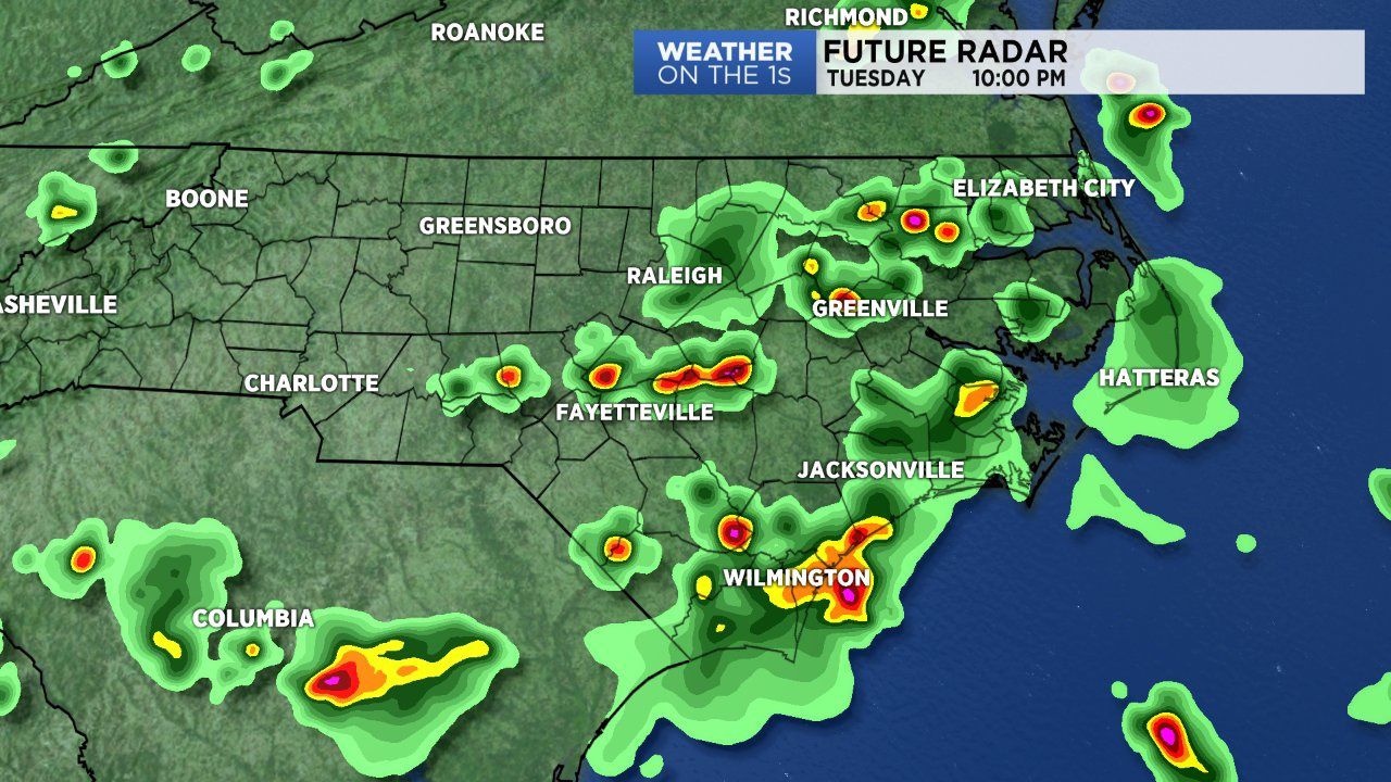
The front is also kick-starting storms across the state and we'll deal with scattered storms through Tuesday evening and night. Rain coverage will diminish as the front makes its way east through the state.
Expect partly to mostly cloudy skies overnight as the front moves through. Lows will remain mild in the low 70s. Storms will end for most if not all in central North Carolina overnight.
Wednesday morning will begin with more clouds than sun. Expect cloud cover to erode through the day, making way for a beautiful afternoon. Due to northerly winds behind the front, temperatures will only climb into the mid 80s and the humidity will slack off.
Dry conditions will remain in place through Friday morning. A warm front will lift north through the state Friday, ushering in the return of rain to our forecast as we close out the workweek and head into the weekend.
Get the latest news, sports and weather delivered straight to your inbox. Click here to sign up for email and text alerts.