


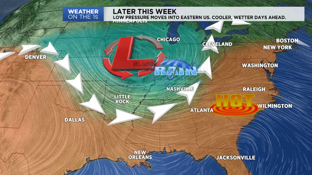
NORTH CAROLINA -- High pressure over the southeast U.S. is keeping North Carolina mostly dry and extremely hot.
- Heat advisories in effect until sunset
- Similar high heat and humid conditions will continue tomorrow
- A cold front will slide into the region late tomorrow with rain chances later in the week
Heat advisories until sunset went into effect at 11 a.m. this morning due to the threat of heat index values exceeding 105 degrees.
Similar high heat and humid conditions will continue tomorrow as high pressure dominates. Another heat advisory looks likely for Wednesday given a forecast high in the upper 90s and high dew points in the 60s and 70s.
A cold front will slide into the region late tomorrow as high pressure breaks down. The front will stick around through the end of the week increasing rain chances and in turn lowering temperatures.
An isolated storm threat today will turn scattered as we get into Wednesday, Thursday and Friday. A few thunderstorms may be intense producing heavy rain, frequent lightning and gusty winds.
The threat of storms will linger through the weekend and into next week. Saturday and Sunday are by no means a complete wash out but be mindful that we’ll likely host afternoon and evening storms.
We’ll continue with an elevated rain chance after the weekend on Monday.
Get the latest news, sports and weather delivered straight to your inbox. Click here to sign up for email and text alerts.