


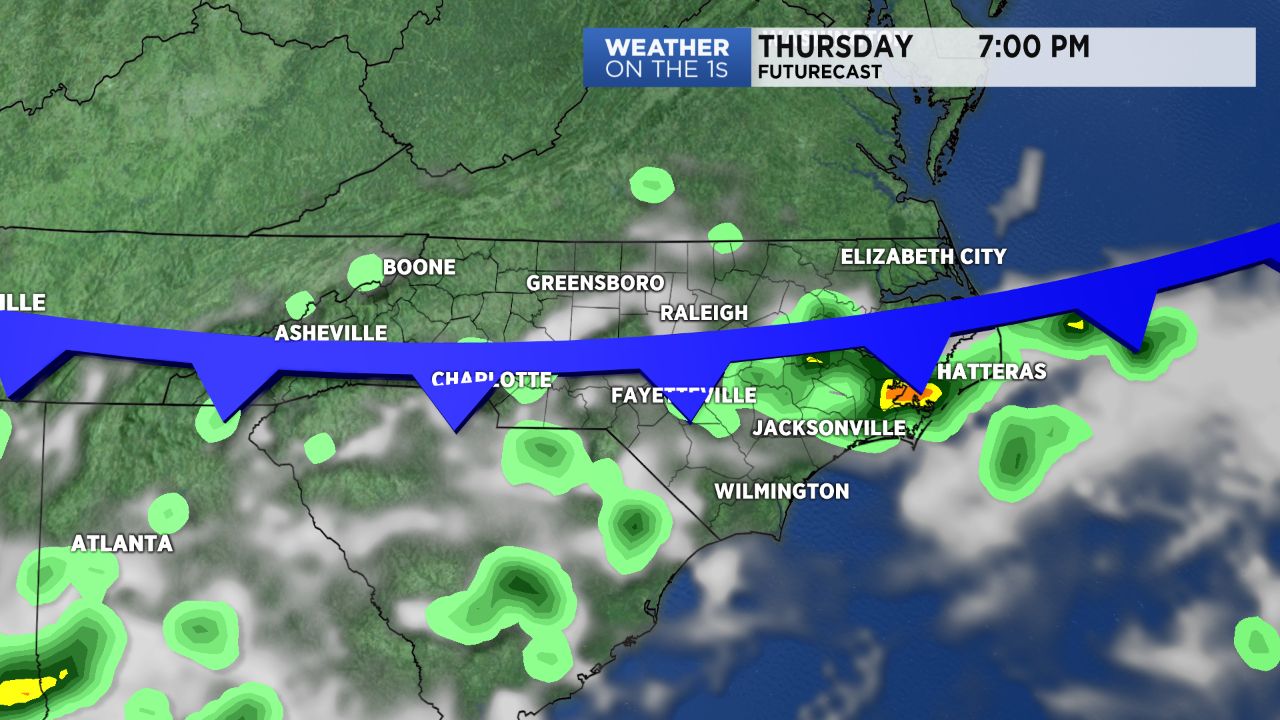
Keep an eye on radar Thursday afternoon. A front moving into the state from the north will spark scattered showers and storms around central North Carolina. The highest chance to see a few of the storms will be for locations near and south of the Triangle.
- Interactive radar
- 7-day forecast
- Share your weather photos with Meteorologist Lee Ringer on Facebook
Other than those few scattered storms, much of Thursday will feature a mix of clouds and sun along with very warm temperatures. Highs should top out around 90 to the low 90s.
The front moving into the state Thursday will not cool temperatures down very much for the next few days. Highs in the upper 80s are forecast for Friday and Saturday. The low 90s will return for Father's Day.
Much of the upcoming weekend will be dry, but scattered storms will be possible Sunday afternoon and evening.
Next week will bring some of the hottest weather yet this year to the Carolinas. Highs in the mid 90s are now expected for the first half of the week along with a heat index near or slightly above 100.
Get the latest news, sports and weather delivered straight to your inbox. Click here to sign up for email and text alerts.