


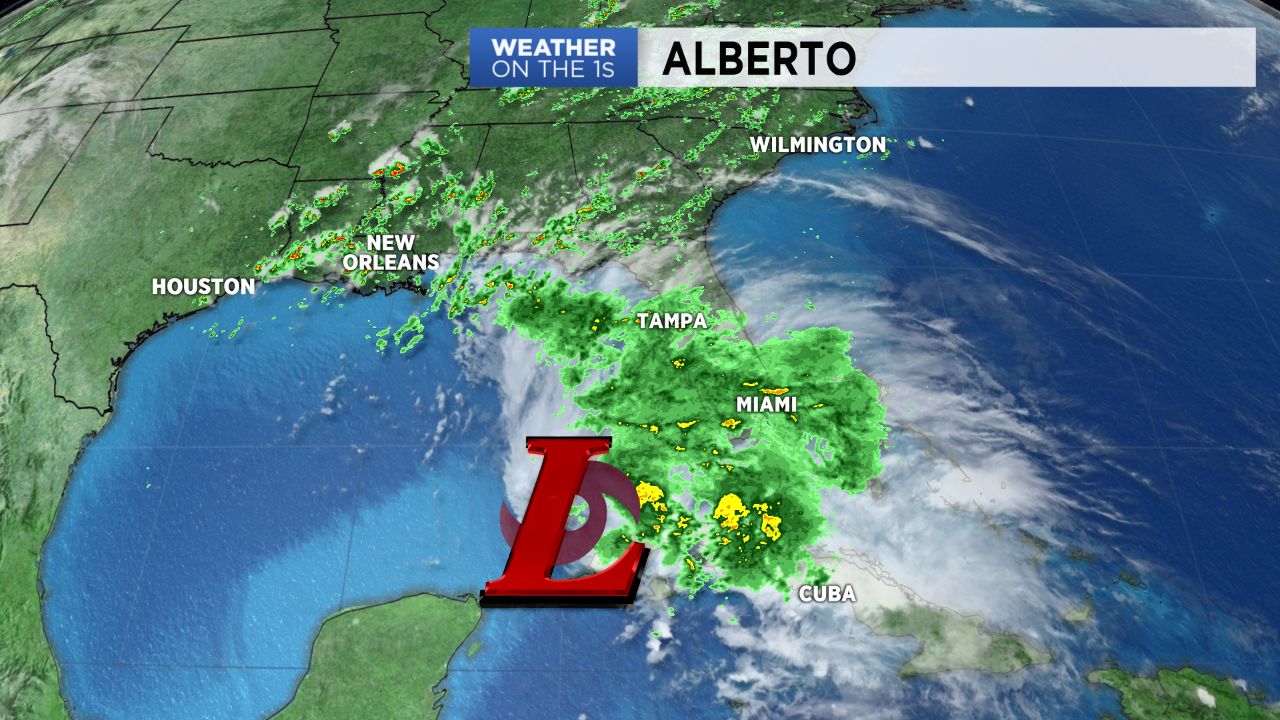
Subtropical Storm Alberto is forecast to make landfall late Monday along the central Gulf coast. While the storm's remnants may not track directly over the Carolinas, abundant tropical moisture from the system will bring heavy rain to North Carolina at times early next week.
Very little rain may fall in much of the state during the day Sunday outside of just a few isolated showers and storms. The greatest chance of rain for the holiday weekend should arrive early Memorial Day morning and continue for much of the day.
The latest data suggests the heaviest rain Monday will fall in southeastern North Carolina. Other parts of the state should still showers and storms with heavy downpours at times though. Recent wet weather combined with the downpours could lead to flash flooding in some locations.
Wilmington is experiencing the wettest May on record with just under ten inches of rain so far this month. Elsewhere in the state, a strong storm dumped up to five inches of rain in a few hours in north Raleigh leading to flooding last Monday night. The state's mountains have also experienced flooding problems over the last couple of weeks.
Flooding concerns will continue through at least the middle of next week. Lingering tropical moisture over the region will keep scattered showers and storms in the forecast most days next week. It now appears most of North Carolina will see around two to five inches of rain through next week. Locally higher amounts are possible especially in southeastern North Carolina.
Stay tuned to Weather on the 1s on Spectrum News for updates.