


Don't put away your umbrella anytime soon. There will be times over the next few days when you will not need it. Other times, you will be glad you have it.
- Showers and storms will last into the weekend.
- Some areas have received more than an inch of rain.
- Click here to check our interactive radar.
Warm and very humid air over the Carolinas will fuel off and on showers and storms for the rest of the week and the weekend.
Another one and half to three inches of rain is likely across central North Carolina through early next week. Localized higher amounts are possible.
As of early Thursday morning, rainfall amounts have varied greatly this week:
- Oxford -- 1.71"
- Raleigh-Durham Airport -- 0.78"
- Clayton -- 0.61"
- Rocky Mount-Wilson -- 0.36"
- Fayetteville -- 0.08"
- Goldsboro -- 0.06"
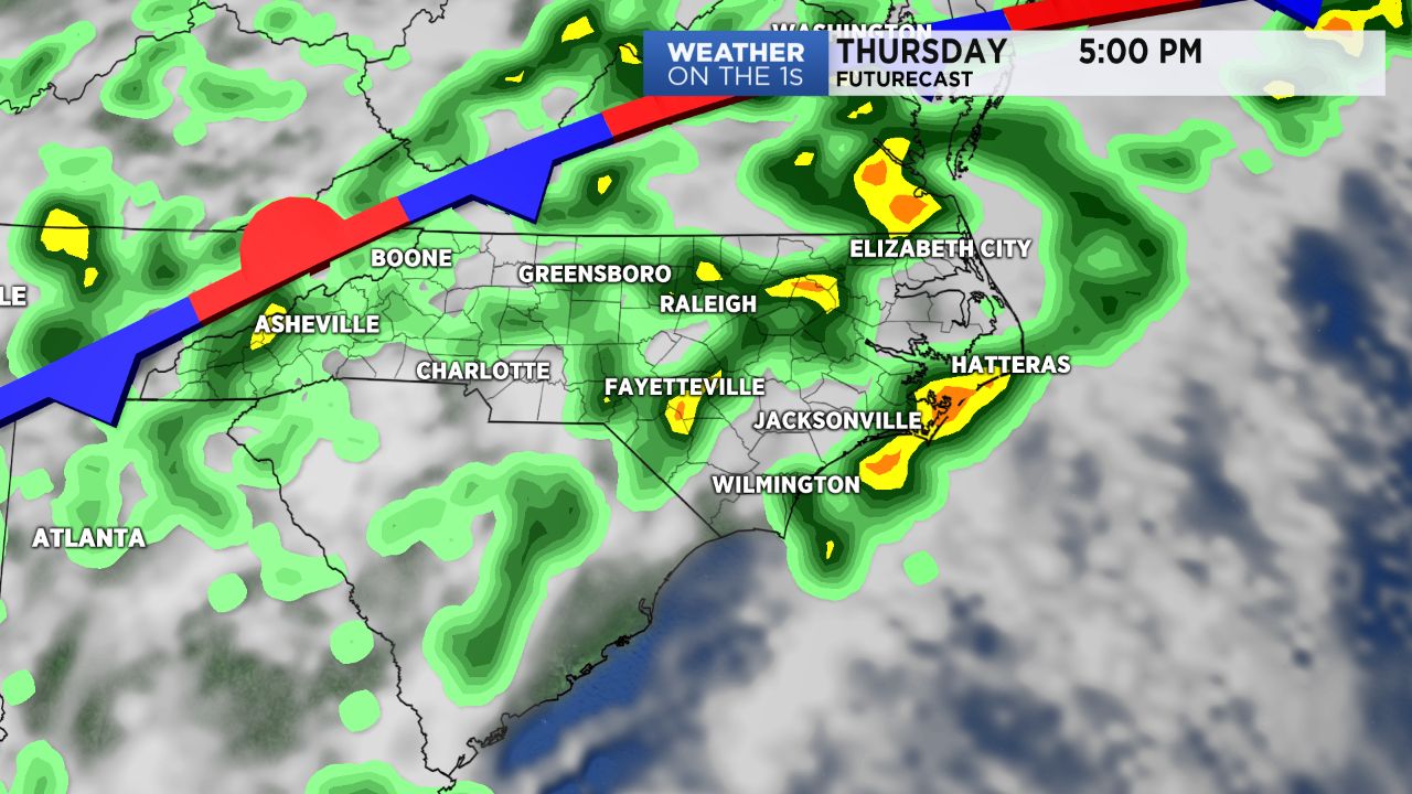
The showers and storms should become a bit more widespread from late Thursday morning into the afternoon compared to Wednesday. Rainfall amounts will likely still vary greatly during the day. As some of the showers and storms will produced localized downpours.
The coverage of the storms should decrease again Thursday night, but a few spotty showers will be possible overnight.
Showers and storms will then become more widespread during the day Friday. We should see similar conditions Saturday.
By Sunday and early next week, afternoon storms will still pop up, but they should not be as widespread around the region.
High temperatures near 80 to the low 80s are forecast through Saturday. The mid 80s are expected from Sunday through much of next week.
Late night and early morning low temperatures each day will be in the upper 60s to near 70.
Get the latest news, sports and weather delivered straight to your inbox. Click here to sign up for email and text alerts.