


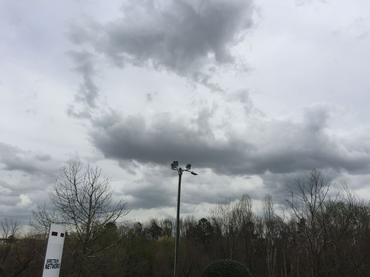
After ending the workweek with sunshine and warmer temperatures, the forecast for the start of the weekend becomes more unsettled with more clouds and a chance for rain...
As high pressure continues to move off the Carolina coast, developing low pressure will move toward the region. More clouds will develop tonight with showers possible from the evening into the overnight hours. More showers are possible for Saturday morning with the better chance for rain developing from late Saturday morning into Saturday afternoon. South and east of the Triangle, there may be a few thunderstorms.
Overall, most areas will see upwards of an inch of rain before it tappers off after midnight Saturday.
As the precipitation ends, colder air will build into the state. Areas from the Triangle, north, may see a few wet snowflakes or sleet pellets. We do not expect any wintry accumulation with this system as any snow or sleet that falls should melt on contact with the warm ground.
High pressure will build into the area on Sunday. This will give us more sun and cool temperatures for the end of the weekend.
We'll see another chance for showers by the start of next week.
Watch Spectrum News for your latest local weekend forecast.